Palm Beach night lights from space
Night Light of Palm Beach (Florida) from space (United States) Src. Average luminocity for 10x10km area is 58.4663% and for 50x50km: 37.4516%.
Analysis of Palm Beach night lights 2016
Square area 10x10 km:
 23.21%
90-99
15.48%80-89
4.56%70-79
6.15%60-69
3.57%50-59
0.99%40-49
2.18%30-39
5.16%20-29
14.29%10-19
15.67%0-9
8.73%Square area 50x50 km:
10.58%90-99
10.9%80-89
4.11%70-79
2.84%60-69
5.78%50-59
4.98%40-49
2.94%30-39
2.01%20-29
4.72%10-19
6.45%0-9
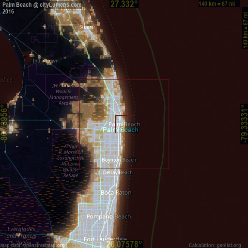
44.69%Clear (daylight) street map image can be seen on geolist.org.
Map coordinates:
27° 19' 55.2" North, 80° 44' 22.4" West
26° 42' 20.2" North, 80° 2' 11.1" West
26° 4' 32.8" North, 79° 19' 59.9" West
Some cities around Palm Beach sort by population:
• West Palm Beach
2 km =1.2 mi,  302°
302°
• Lake Worth
10.5 km =6.5 mi,  199°
199°
• Riviera Beach
8 km =5 mi,  344°
344°
• Greenacres City
12.7 km =7.9 mi,  224°
224°
• Lake Worth Corridor
11.8 km =7.3 mi,  212°
212°
• North Palm Beach
13.2 km =8.2 mi, 340°
• Lake Park
10.9 km =6.8 mi, 344°
• West Gate
6.1 km =3.8 mi,  266°
266°
4167505 (p: 8,612)
Sources (retrieved 2019-11-25):
» Earth at Night: Flat Maps 2012, 2016