Lantana night lights from space
Night Light of Lantana (Florida) from space (United States) Src. Average luminocity for 10x10km area is 67.9148% and for 50x50km: 40.0273%.
Analysis of Lantana night lights 2016
Square area 10x10 km:
 26.89%
90-99
21.97%80-89
6.06%70-79
1.33%60-69
5.3%50-59
3.6%40-49
3.03%30-39
3.22%20-29
14.02%10-19
14.39%0-9
0.19%Square area 50x50 km:
12.67%90-99
12.58%80-89
3.7%70-79
2.51%60-69
5.37%50-59
4.99%40-49
2.77%30-39
2.06%20-29
4.1%10-19
5.26%0-9
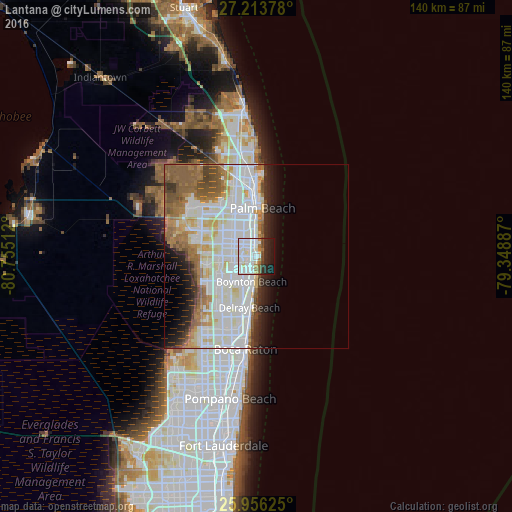
44%Clear (daylight) street map image can be seen on geolist.org.
Map coordinates:
27° 12' 49.6" North, 80° 45' 18.4" West
26° 35' 12.3" North, 80° 3' 7.2" West
25° 57' 22.5" North, 79° 20' 55.9" West
Some cities around Lantana sort by population:
• Boynton Beach
7 km =4.3 mi,  191°
191°
• Delray Beach
14.1 km =8.8 mi, 188°
• Lake Worth
3.9 km =2.4 mi,  329°
329°
• Greenacres City
8.4 km =5.2 mi,  299°
299°
• Palm Springs
7 km =4.3 mi,  321°
321°
• Lake Worth Corridor
5.9 km =3.7 mi, 304°
• Palm Beach
13.3 km =8.3 mi,  6°
6°
• West Gate
13.7 km =8.5 mi,  340°
340°
4161571 (p: 11,136)
Sources (retrieved 2019-11-25):
» Earth at Night: Flat Maps 2012, 2016