Itambé night lights from space
Night Light of Itambé (Bahia) from space (Brazil) Src. Average luminocity for 10x10km area is 6.4897% and for 50x50km: 0.3872%.
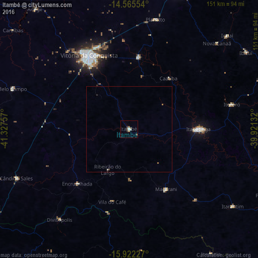
Analysis of Itambé night lights 2016
Square area 10x10 km:
 1.45%
1.45%90-99
1.03%80-89
0%70-79
0.62%60-69
0.62%50-59
1.45%40-49
2.07%30-39
1.03%20-29
0.83%10-19
0%0-9
90.91%Square area 50x50 km:
0.06%90-99
0.07%80-89
0%70-79
0.04%60-69
0.07%50-59
0.06%40-49
0.12%30-39
0.04%20-29
0.1%10-19
0%0-9
99.44%Clear (daylight) street map image can be seen on geolist.org.
Map coordinates:
14° 33' 55.9" South, 41° 19' 39.3" West
15° 14' 42" South, 40° 37' 28" West
15° 55' 20.2" South, 39° 55' 16.8" West
Some cities around Itambé sort by population:
• Vitória da Conquista
48 km =29.8 mi,  331°
331°
• Itapetinga
40.4 km =25.1 mi,  90°
90°
• Poções
84.3 km =52.4 mi,  19°
19°
• Itororó
61.1 km =38 mi,  76°
76°
• Iguaí
79.1 km =49.2 mi,  46°
46°
• Itarantim
75.6 km =47 mi,  127°
127°
• Ibicuí
81.9 km =50.9 mi,  56°
56°
• São Felipe
94 km =58.4 mi,  298°
298°
3460813 (p: 23,558)
Sources (retrieved 2019-11-25):
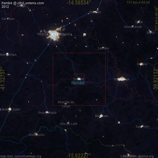
» Earth at Night: Flat Maps 2012, 2016