Itapetinga night lights from space
Night Light of Itapetinga (Bahia) from space (Brazil) Src. Average luminocity for 10x10km area is 29.6488% and for 50x50km: 1.6557%.
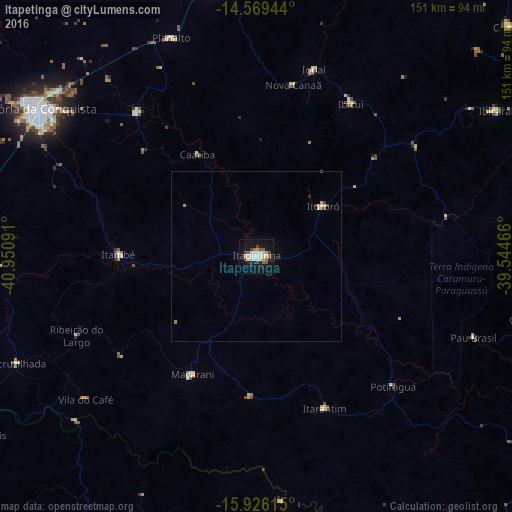

Analysis of Itapetinga night lights 2016
Square area 10x10 km:
 4.96%
4.96%90-99
9.09%80-89
1.65%70-79
1.65%60-69
1.65%50-59
6.2%40-49
3.31%30-39
0.41%20-29
4.55%10-19
29.96%0-9
36.57%Square area 50x50 km:
0.21%90-99
0.42%80-89
0.17%70-79
0.08%60-69
0.12%50-59
0.31%40-49
0.19%30-39
0.04%20-29
0.26%10-19
1.22%0-9
96.98%Clear (daylight) street map image can be seen on geolist.org.
Map coordinates:
14° 34' 10" South, 40° 57' 3.3" West
15° 14' 56" South, 40° 14' 52" West
15° 55' 34.1" South, 39° 32' 40.8" West
Some cities around Itapetinga sort by population:
• Vitória da Conquista
76.5 km =47.5 mi,  303°
303°
• Poções
81 km =50.3 mi,  351°
351°
• Itambé
40.4 km =25.1 mi,  270°
270°
• Itororó
24 km =14.9 mi,  52°
52°
• Iguaí
57.3 km =35.6 mi,  17°
17°
• Itarantim
49.7 km =30.9 mi,  156°
156°
• Ibicuí
53.3 km =33.1 mi,  31°
31°
• Pau Brasil
68.3 km =42.4 mi,  110°
110°
3460730 (p: 59,721)
Sources (retrieved 2019-11-25):
» NASA, Earths city lights 1995
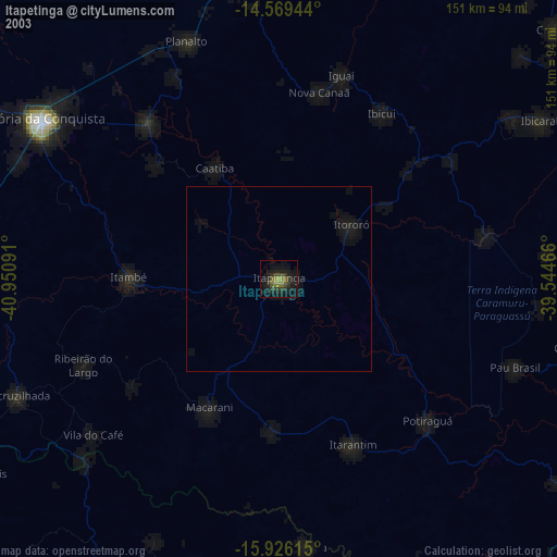
» NASA city lights 2003
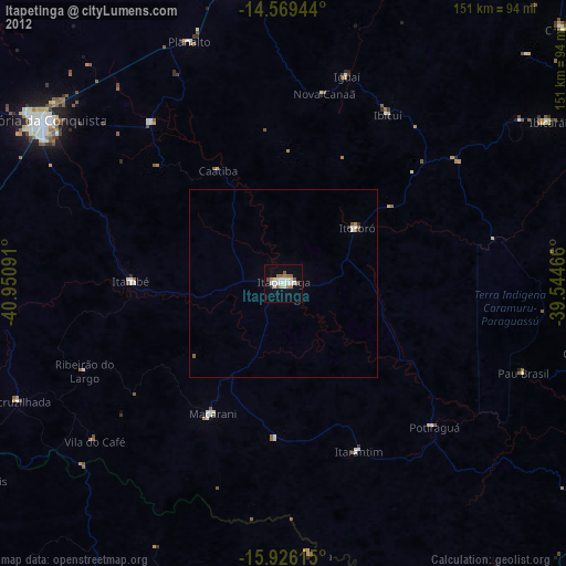
» Earth at Night: Flat Maps 2012, 2016