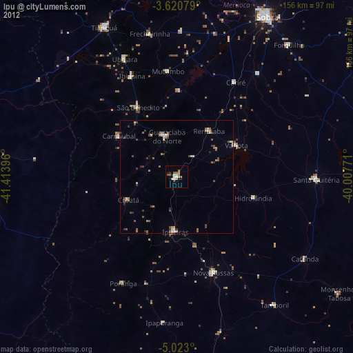
Ipu night lights from space
Night Light of Ipu (Ceará) from space (Brazil) Src. Average luminocity for 10x10km area is 18.7771% and for 50x50km: 3.9106%.
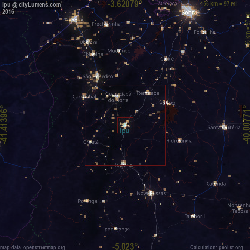
Analysis of Ipu night lights 2016
Square area 10x10 km:
 1.73%
1.73%90-99
3.46%80-89
2.6%70-79
3.46%60-69
1.73%50-59
2.16%40-49
2.81%30-39
1.08%20-29
2.6%10-19
6.49%0-9
71.86%Square area 50x50 km:
0.21%90-99
0.62%80-89
0.42%70-79
0.48%60-69
0.42%50-59
0.59%40-49
0.71%30-39
0.54%20-29
0.97%10-19
0.75%0-9
94.27%Clear (daylight) street map image can be seen on geolist.org.
Map coordinates:
3° 37' 14.8" South, 41° 24' 50.3" West
4° 19' 20" South, 40° 42' 39" West
5° 1' 22.8" South, 40° 0' 27.8" West
Some cities around Ipu sort by population:
• Nova Russas
45.8 km =28.5 mi,  159°
159°
• Guaraciaba do Norte
17.7 km =11 mi,  346°
346°
• Varjota
29.6 km =18.4 mi,  61°
61°
• Ubajara
57 km =35.4 mi,  335°
335°
• Reriutaba
24.6 km =15.3 mi,  35°
35°
• Hidrolândia
31.7 km =19.7 mi,  107°
107°
• Ibiapina
48.6 km =30.2 mi, 335°
• Cariré
49 km =30.4 mi,  32°
32°
3398112 (p: 26,678)
Sources (retrieved 2019-11-25):
» Earth at Night: Flat Maps 2012, 2016