Tupanciretã night lights from space
Night Light of Tupanciretã (Rio Grande do Sul) from space (Brazil) Src. Average luminocity for 10x10km area is 14.002% and for 50x50km: 1.1172%.
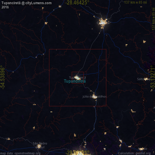
Analysis of Tupanciretã night lights 2016
Square area 10x10 km:
 2.18%
2.18%90-99
1.39%80-89
3.97%70-79
1.19%60-69
1.59%50-59
1.59%40-49
0.2%30-39
2.98%20-29
0.79%10-19
0.4%0-9
83.73%Square area 50x50 km:
0.17%90-99
0.12%80-89
0.24%70-79
0.1%60-69
0.13%50-59
0.14%40-49
0.04%30-39
0.2%20-29
0.11%10-19
0.08%0-9
98.69%Clear (daylight) street map image can be seen on geolist.org.
Map coordinates:
28° 27' 51.3" South, 54° 32' 20.3" West
29° 4' 50" South, 53° 50' 9" West
29° 41' 35.6" South, 53° 7' 57.8" West
Some cities around Tupanciretã sort by population:
• Santa Maria
67.2 km =41.8 mi,  177°
177°
• Ijuí
77.4 km =48.1 mi,  354°
354°
• Cruz Alta
53.4 km =33.2 mi,  24°
24°
• Santo Ângelo
96.4 km =59.9 mi,  334°
334°
• Panambi
93.5 km =58.1 mi, 20°
• Júlio de Castilhos
22.1 km =13.7 mi,  137°
137°
• Ibirubá
88.4 km =54.9 mi,  55°
55°
• São Pedro do Sul
68.6 km =42.6 mi,  208°
208°
3445939 (p: 17,488)
Sources (retrieved 2019-11-25):
» Earth at Night: Flat Maps 2012, 2016