Cruz Alta night lights from space
Night Light of Cruz Alta (Rio Grande do Sul) from space (Brazil) Src. Average luminocity for 10x10km area is 36.4129% and for 50x50km: 1.9341%.
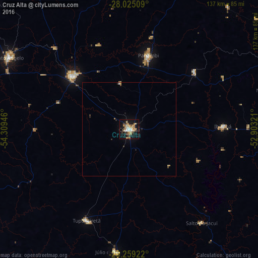
Analysis of Cruz Alta night lights 2016
Square area 10x10 km:
 3.41%
3.41%90-99
4.92%80-89
6.82%70-79
6.25%60-69
8.52%50-59
5.11%40-49
1.14%30-39
6.25%20-29
1.14%10-19
41.1%0-9
15.34%Square area 50x50 km:
0.16%90-99
0.2%80-89
0.31%70-79
0.32%60-69
0.37%50-59
0.2%40-49
0.13%30-39
0.36%20-29
0.2%10-19
1.83%0-9
95.92%Clear (daylight) street map image can be seen on geolist.org.
Map coordinates:
28° 1' 30.3" South, 54° 18' 34.1" West
28° 38' 38.3" South, 53° 36' 22.8" West
29° 15' 33.2" South, 52° 54' 11.6" West
Some cities around Cruz Alta sort by population:
• Ijuí
41.5 km =25.8 mi,  313°
313°
• Santo Ângelo
74.8 km =46.5 mi,  300°
300°
• Panambi
40.4 km =25.1 mi,  14°
14°
• Júlio de Castilhos
65.2 km =40.5 mi,  186°
186°
• Tupanciretã
53.4 km =33.2 mi,  204°
204°
• Ibirubá
50.4 km =31.3 mi,  87°
87°
• Não Me Toque
79.4 km =49.3 mi,  75°
75°
• Espumoso
74.3 km =46.2 mi,  96°
96°
3465108 (p: 65,275)
Sources (retrieved 2019-11-25):
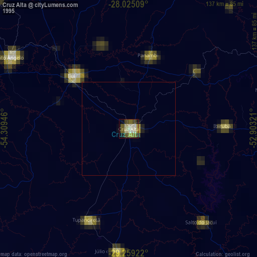
» NASA, Earths city lights 1995
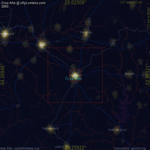
» NASA city lights 2003
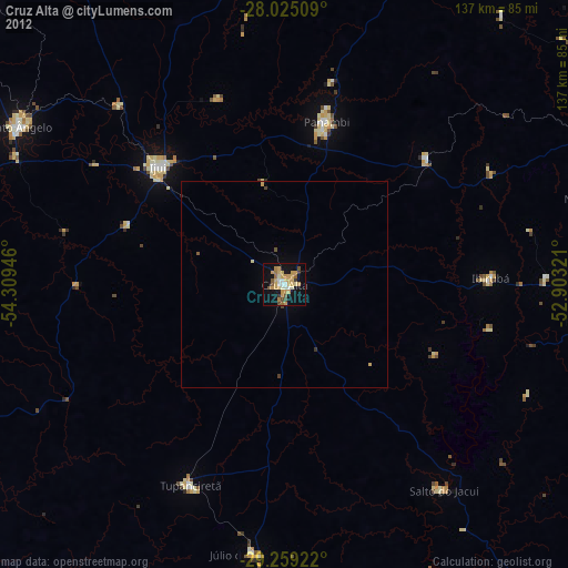
» Earth at Night: Flat Maps 2012, 2016