Santa Maria night lights from space
Night Light of Santa Maria (Rio Grande do Sul) from space (Brazil) Src. Average luminocity for 10x10km area is 56.7679% and for 50x50km: 5.1282%.
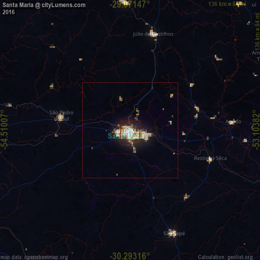
Analysis of Santa Maria night lights 2016
Square area 10x10 km:
 10.52%
90-99
11.71%80-89
11.51%70-79
8.33%60-69
8.73%50-59
5.36%40-49
4.56%30-39
6.55%20-29
13.69%10-19
18.45%0-9
0.6%Square area 50x50 km:
0.57%90-99
0.63%80-89
0.95%70-79
0.63%60-69
0.84%50-59
0.58%40-49
0.54%30-39
0.84%20-29
1.54%10-19
3.92%0-9
88.97%Clear (daylight) street map image can be seen on geolist.org.
Map coordinates:
29° 4' 17.3" South, 54° 30' 36.3" West
29° 41' 3" South, 53° 48' 25" West
30° 17' 35.4" South, 53° 6' 13.8" West
Some cities around Santa Maria sort by population:
• Cachoeira do Sul
96.5 km =60 mi,  114°
114°
• São Gabriel
87.7 km =54.5 mi,  214°
214°
• Candelária
98.4 km =61.1 mi,  89°
89°
• Júlio de Castilhos
52.3 km =32.5 mi,  13°
13°
• São Sepé
57.9 km =36 mi,  156°
156°
• Caçapava do Sul
97.4 km =60.5 mi, 161°
• Tupanciretã
67.2 km =41.8 mi,  357°
357°
• São Pedro do Sul
36.6 km =22.7 mi,  281°
281°
3450083 (p: 249,219)
Sources (retrieved 2019-11-25):
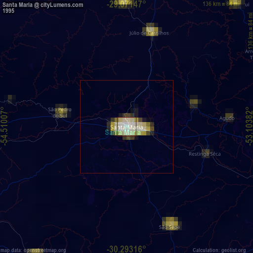
» NASA, Earths city lights 1995
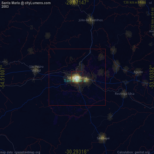
» NASA city lights 2003
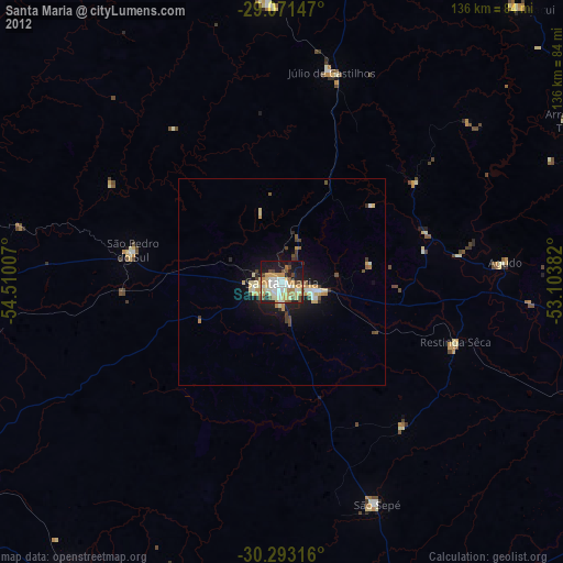
» Earth at Night: Flat Maps 2012, 2016