Júlio de Castilhos night lights from space
Night Light of Júlio de Castilhos (Rio Grande do Sul) from space (Brazil) Src. Average luminocity for 10x10km area is 13.623% and for 50x50km: 1.1081%.
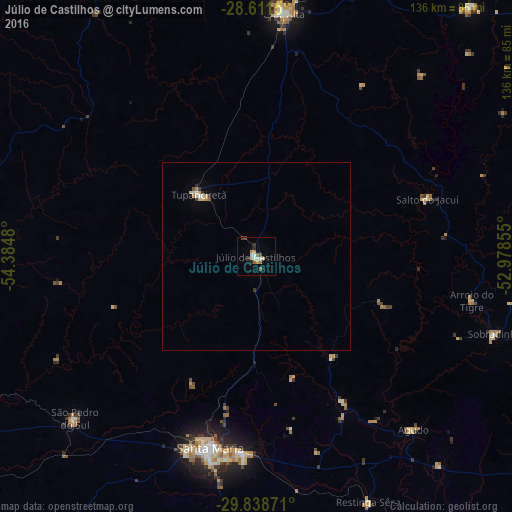
Analysis of Júlio de Castilhos night lights 2016
Square area 10x10 km:
 2.18%
2.18%90-99
1.79%80-89
2.38%70-79
1.39%60-69
1.79%50-59
1.98%40-49
0.6%30-39
1.59%20-29
2.18%10-19
0.79%0-9
83.33%Square area 50x50 km:
0.16%90-99
0.12%80-89
0.24%70-79
0.1%60-69
0.13%50-59
0.13%40-49
0.04%30-39
0.22%20-29
0.11%10-19
0.04%0-9
98.71%Clear (daylight) street map image can be seen on geolist.org.
Map coordinates:
28° 36' 41.4" South, 54° 23' 5.3" West
29° 13' 37" South, 53° 40' 54" West
29° 50' 19.4" South, 52° 58' 42.8" West
Some cities around Júlio de Castilhos sort by population:
• Santa Maria
52.3 km =32.5 mi,  193°
193°
• Ijuí
96 km =59.7 mi,  346°
346°
• Cruz Alta
65.2 km =40.5 mi,  6°
6°
• Candelária
99.4 km =61.8 mi,  119°
119°
• Tupanciretã
22.1 km =13.7 mi,  317°
317°
• Ibirubá
88.1 km =54.7 mi,  40°
40°
• São Pedro do Sul
65.1 km =40.5 mi,  227°
227°
• Espumoso
98.3 km =61.1 mi,  55°
55°
3459495 (p: 20,388)
Sources (retrieved 2019-11-25):
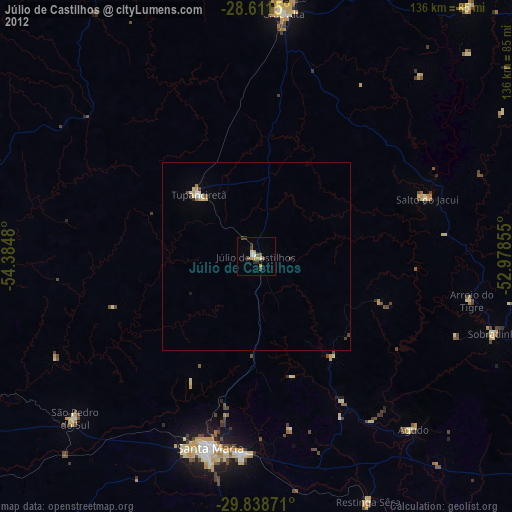
» Earth at Night: Flat Maps 2012, 2016