Três Lagoas night lights from space
Night Light of Três Lagoas (Mato Grosso do Sul) from space (Brazil) Src. Average luminocity for 10x10km area is 59.5852% and for 50x50km: 4.876%.
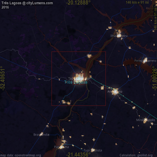

Analysis of Três Lagoas night lights 2016
Square area 10x10 km:
 10.04%
90-99
16.1%80-89
5.49%70-79
14.96%60-69
7.95%50-59
5.11%40-49
6.25%30-39
4.55%20-29
16.1%10-19
13.07%0-9
0.38%Square area 50x50 km:
0.48%90-99
0.75%80-89
0.33%70-79
1.2%60-69
0.74%50-59
0.47%40-49
0.79%30-39
0.44%20-29
1.18%10-19
3.33%0-9
90.29%Clear (daylight) street map image can be seen on geolist.org.
Map coordinates:
20° 7' 44" South, 52° 24' 23.4" West
20° 47' 15.5" South, 51° 42' 12.2" West
21° 26' 36.8" South, 51° 0' 0.9" West
Some cities around Três Lagoas sort by population:
• Andradina
35.8 km =22.2 mi,  109°
109°
• Ilha Solteira
54.5 km =33.9 mi,  43°
43°
• Mirandopólis
73.4 km =45.6 mi,  121°
121°
• Pereira Barreto
64 km =39.8 mi,  74°
74°
• Panorama
65.3 km =40.6 mi,  194°
194°
• Junqueirópolis
85.5 km =53.1 mi,  160°
160°
• Castilho
24.3 km =15.1 mi, 112°
• Tupi Paulista
67.4 km =41.9 mi,  168°
168°
3446098 (p: 78,712)
Sources (retrieved 2019-11-25):
» NASA, Earths city lights 1995
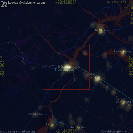
» NASA city lights 2003
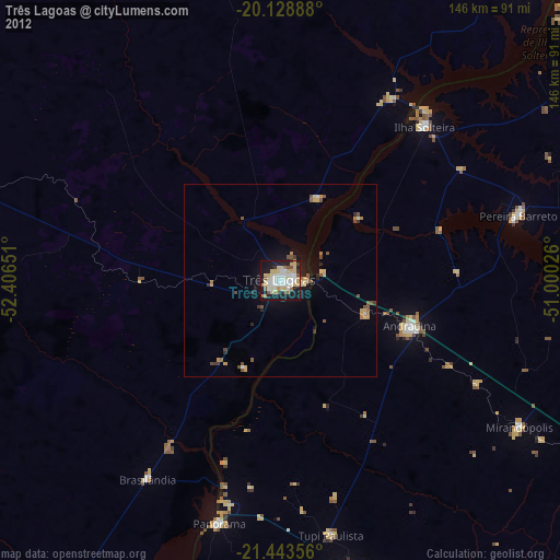
» Earth at Night: Flat Maps 2012, 2016