Panorama night lights from space
Night Light of Panorama (São Paulo) from space (Brazil) Src. Average luminocity for 10x10km area is 20.6098% and for 50x50km: 2.2913%.
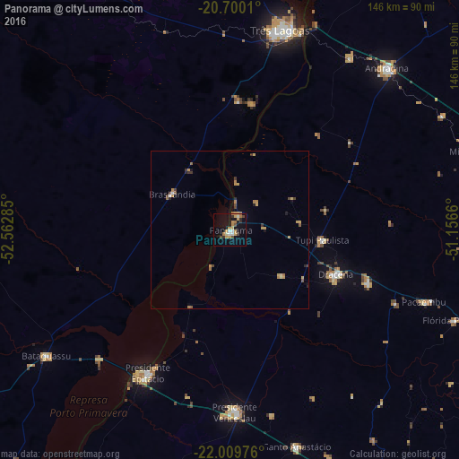
Analysis of Panorama night lights 2016
Square area 10x10 km:
 1.33%
1.33%90-99
2.46%80-89
2.65%70-79
6.06%60-69
3.98%50-59
0.19%40-49
3.79%30-39
1.33%20-29
1.7%10-19
14.96%0-9
61.55%Square area 50x50 km:
0.1%90-99
0.13%80-89
0.36%70-79
0.65%60-69
0.49%50-59
0.15%40-49
0.4%30-39
0.28%20-29
0.22%10-19
0.85%0-9
96.37%Clear (daylight) street map image can be seen on geolist.org.
Map coordinates:
20° 42' 0.4" South, 52° 33' 46.3" West
21° 21' 23" South, 51° 51' 35" West
22° 0' 35.1" South, 51° 9' 23.8" West
Some cities around Panorama sort by population:
• Três Lagoas
65.3 km =40.6 mi,  14°
14°
• Presidente Epitácio
52.4 km =32.6 mi,  210°
210°
• Presidente Venceslau
57.8 km =35.9 mi,  178°
178°
• Santo Anastácio
59.5 km =37 mi,  154°
154°
• Junqueirópolis
47.5 km =29.5 mi,  111°
111°
• Castilho
66.2 km =41.1 mi,  35°
35°
• Tupi Paulista
30.1 km =18.7 mi,  95°
95°
• Pacaembu
66.1 km =41.1 mi, 110°
3455251 (p: 14,227)
Sources (retrieved 2019-11-25):
» Earth at Night: Flat Maps 2012, 2016