Andradina night lights from space
Night Light of Andradina (São Paulo) from space (Brazil) Src. Average luminocity for 10x10km area is 31.6806% and for 50x50km: 2.587%.
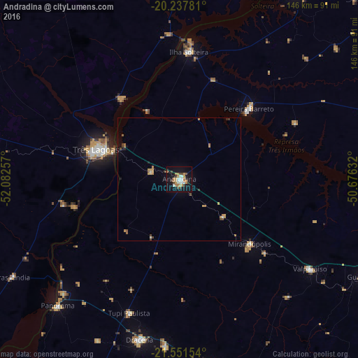
Analysis of Andradina night lights 2016
Square area 10x10 km:
 5.56%
5.56%90-99
4.76%80-89
2.38%70-79
7.54%60-69
5.16%50-59
0.99%40-49
5.36%30-39
1.59%20-29
2.18%10-19
38.29%0-9
26.19%Square area 50x50 km:
0.27%90-99
0.25%80-89
0.15%70-79
0.75%60-69
0.44%50-59
0.21%40-49
0.4%30-39
0.19%20-29
0.19%10-19
1.82%0-9
95.33%Clear (daylight) street map image can be seen on geolist.org.
Map coordinates:
20° 14' 16.1" South, 52° 4' 57.3" West
20° 53' 46" South, 51° 22' 46" West
21° 33' 5.5" South, 50° 40' 34.8" West
Some cities around Andradina sort by population:
• Três Lagoas
35.8 km =22.2 mi,  289°
289°
• Ilha Solteira
51.7 km =32.1 mi,  4°
4°
• Mirandopólis
39.1 km =24.3 mi,  132°
132°
• Pereira Barreto
40.1 km =24.9 mi,  44°
44°
• Valparaíso
64.6 km =40.1 mi,  124°
124°
• Junqueirópolis
69 km =42.9 mi,  184°
184°
• Castilho
11.5 km =7.1 mi,  283°
283°
• Tupi Paulista
57.5 km =35.7 mi,  200°
200°
3472248 (p: 52,406)
Sources (retrieved 2019-11-25):
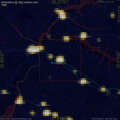
» NASA, Earths city lights 1995
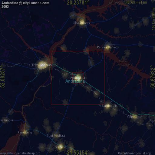
» NASA city lights 2003
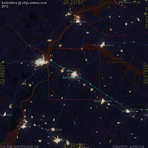
» Earth at Night: Flat Maps 2012, 2016