Mirandopólis night lights from space
Night Light of Mirandopólis (São Paulo) from space (Brazil) Src. Average luminocity for 10x10km area is 13.244% and for 50x50km: 1.7178%.
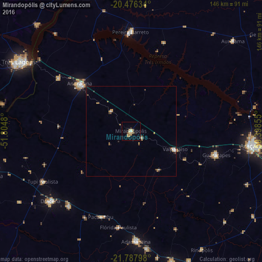
Analysis of Mirandopólis night lights 2016
Square area 10x10 km:
 0.6%
0.6%90-99
0.79%80-89
2.38%70-79
4.56%60-69
2.58%50-59
0.6%40-49
0.79%30-39
1.39%20-29
1.39%10-19
0%0-9
84.92%Square area 50x50 km:
0.14%90-99
0.21%80-89
0.11%70-79
0.53%60-69
0.28%50-59
0.14%40-49
0.28%30-39
0.16%20-29
0.16%10-19
0.1%0-9
97.89%Clear (daylight) street map image can be seen on geolist.org.
Map coordinates:
20° 28' 34.8" South, 51° 48' 17.3" West
21° 8' 1" South, 51° 6' 6" West
21° 47' 16.7" South, 50° 23' 54.8" West
Some cities around Mirandopólis sort by population:
• Andradina
39.1 km =24.3 mi,  312°
312°
• Guararapes
49.6 km =30.8 mi,  106°
106°
• Pereira Barreto
55.1 km =34.2 mi,  359°
359°
• Valparaíso
26.4 km =16.4 mi, 113°
• Junqueirópolis
54.6 km =33.9 mi,  219°
219°
• Castilho
49.5 km =30.8 mi, 305°
• Pacaembu
50.4 km =31.3 mi,  199°
199°
• Paulista Flórida
52.8 km =32.8 mi,  191°
191°
3457107 (p: 23,378)
Sources (retrieved 2019-11-25):
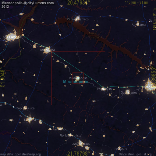
» Earth at Night: Flat Maps 2012, 2016