Sorocaba night lights from space
Night Light of Sorocaba (São Paulo) from space (Brazil) Src. Average luminocity for 10x10km area is 97.6845% and for 50x50km: 32.9608%.
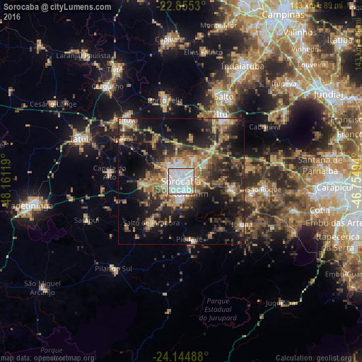
Analysis of Sorocaba night lights 2016
Square area 10x10 km:
 67.86%
90-99
24.01%80-89
3.37%70-79
3.77%60-69
0.99%50-59
0%40-49
0%30-39
0%20-29
0%10-19
0%0-9
0%Square area 50x50 km:
4.79%90-99
3.26%80-89
2.99%70-79
5.54%60-69
6.54%50-59
5.11%40-49
5.2%30-39
7.71%20-29
10.55%10-19
18.07%0-9
30.26%Clear (daylight) street map image can be seen on geolist.org.
Map coordinates:
22° 51' 19.1" South, 48° 9' 40.3" West
23° 30' 6" South, 47° 27' 29" West
24° 8' 41.6" South, 46° 45' 17.8" West
Some cities around Sorocaba sort by population:
• Votorantim
5.4 km =3.4 mi,  157°
157°
• Mairinque
28.4 km =17.6 mi,  99°
99°
• Salto de Pirapora
20.1 km =12.5 mi,  215°
215°
• Piedade
23.6 km =14.7 mi,  172°
172°
• Ibiúna
29.5 km =18.3 mi,  125°
125°
• Iperó
28.9 km =18 mi,  305°
305°
• Araçoiaba da Serra
15.9 km =9.9 mi,  268°
268°
• Capela do Alto
28.4 km =17.6 mi,  276°
276°
3447399 (p: 558,862)
Sources (retrieved 2019-11-25):
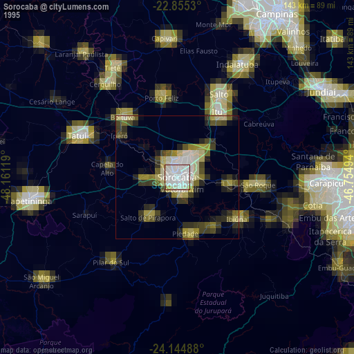
» NASA, Earths city lights 1995
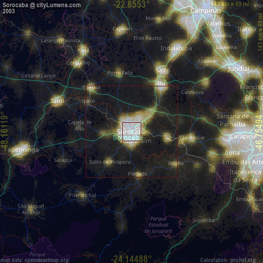
» NASA city lights 2003
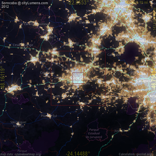
» Earth at Night: Flat Maps 2012, 2016