Votorantim night lights from space
Night Light of Votorantim (São Paulo) from space (Brazil) Src. Average luminocity for 10x10km area is 75.1369% and for 50x50km: 31.1291%.
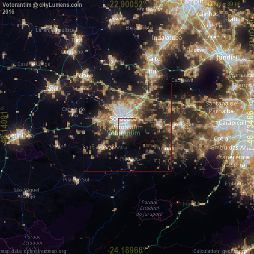


Analysis of Votorantim night lights 2016
Square area 10x10 km:
 33.73%
90-99
15.08%80-89
5.56%70-79
9.13%60-69
7.94%50-59
4.17%40-49
9.13%30-39
5.56%20-29
5.36%10-19
4.37%0-9
0%Square area 50x50 km:
4.42%90-99
2.95%80-89
2.65%70-79
5.15%60-69
6.29%50-59
4.93%40-49
5.12%30-39
7.6%20-29
10.64%10-19
16.92%0-9
33.33%Clear (daylight) street map image can be seen on geolist.org.
Map coordinates:
22° 54' 1.9" South, 48° 8' 27.3" West
23° 32' 48" South, 47° 26' 16" West
24° 11' 22.8" South, 46° 44' 4.8" West
Some cities around Votorantim sort by population:
• Sorocaba
5.4 km =3.4 mi,  337°
337°
• São Roque
30.9 km =19.2 mi,  86°
86°
• Mairinque
25.9 km =16.1 mi, 89°
• Salto de Pirapora
17.9 km =11.1 mi,  230°
230°
• Piedade
18.4 km =11.4 mi,  176°
176°
• Ibiúna
25.1 km =15.6 mi,  119°
119°
• Araçoiaba da Serra
18.6 km =11.6 mi,  284°
284°
• Capela do Alto
31.4 km =19.5 mi,  285°
285°
3444866 (p: 99,390)
Sources (retrieved 2019-11-25):
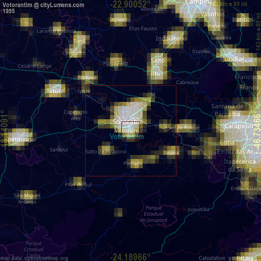
» NASA, Earths city lights 1995
» NASA city lights 2003
» Earth at Night: Flat Maps 2012, 2016