Salto de Pirapora night lights from space
Night Light of Salto de Pirapora (São Paulo) from space (Brazil) Src. Average luminocity for 10x10km area is 29.2401% and for 50x50km: 19.7222%.
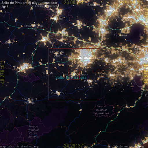
Analysis of Salto de Pirapora night lights 2016
Square area 10x10 km:
 1.39%
1.39%90-99
0.99%80-89
1.19%70-79
9.52%60-69
4.37%50-59
3.57%40-49
8.13%30-39
5.95%20-29
4.37%10-19
43.45%0-9
17.06%Square area 50x50 km:
4.16%90-99
2.45%80-89
1.66%70-79
3.58%60-69
3.5%50-59
2.58%40-49
2.55%30-39
3.37%20-29
3.43%10-19
6.64%0-9
66.09%Clear (daylight) street map image can be seen on geolist.org.
Map coordinates:
23° 0' 11.7" South, 48° 16' 35.3" West
23° 38' 56" South, 47° 34' 24" West
24° 17' 28.9" South, 46° 52' 12.8" West
Some cities around Salto de Pirapora sort by population:
• Sorocaba
20.1 km =12.5 mi,  35°
35°
• Votorantim
17.9 km =11.1 mi,  50°
50°
• Piedade
16.4 km =10.2 mi,  115°
115°
• Ibiúna
35.7 km =22.2 mi,  91°
91°
• Pilar do Sul
23.4 km =14.5 mi,  218°
218°
• Iperó
35.2 km =21.9 mi,  340°
340°
• Araçoiaba da Serra
16.5 km =10.3 mi,  345°
345°
• Capela do Alto
25.8 km =16 mi,  320°
320°
3450563 (p: 32,227)
Sources (retrieved 2019-11-25):
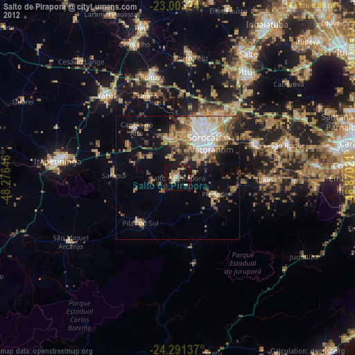
» Earth at Night: Flat Maps 2012, 2016