Mairinque night lights from space
Night Light of Mairinque (São Paulo) from space (Brazil) Src. Average luminocity for 10x10km area is 54.3889% and for 50x50km: 33.3787%.
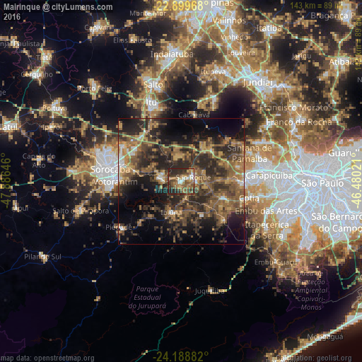
Analysis of Mairinque night lights 2016
Square area 10x10 km:
 5.56%
5.56%90-99
5.16%80-89
4.76%70-79
6.75%60-69
16.47%50-59
18.25%40-49
11.71%30-39
13.29%20-29
17.46%10-19
0.6%0-9
0%Square area 50x50 km:
1.63%90-99
1.79%80-89
2.84%70-79
5.21%60-69
7.7%50-59
9.69%40-49
8.28%30-39
10.08%20-29
14.53%10-19
13.06%0-9
25.19%Clear (daylight) street map image can be seen on geolist.org.
Map coordinates:
22° 53' 58.8" South, 47° 53' 11.3" West
23° 32' 45" South, 47° 10' 60" West
24° 11' 19.8" South, 46° 28' 48.8" West
Some cities around Mairinque sort by population:
• Sorocaba
28.4 km =17.6 mi,  279°
279°
• Itapevi
25.4 km =15.8 mi,  90°
90°
• Cotia
27.7 km =17.2 mi,  103°
103°
• Votorantim
25.9 km =16.1 mi,  269°
269°
• São Roque
5.2 km =3.2 mi,  69°
69°
• Cabreúva
27 km =16.8 mi,  11°
11°
• Ibiúna
12.9 km =8 mi,  197°
197°
• Pirapora do Bom Jesus
24.8 km =15.4 mi,  48°
48°
3458132 (p: 44,456)
Sources (retrieved 2019-11-25):
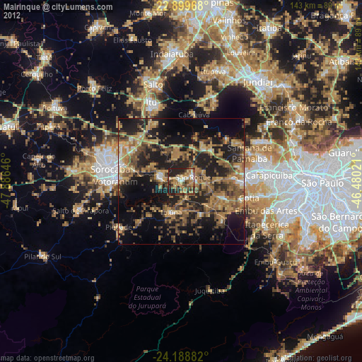
» Earth at Night: Flat Maps 2012, 2016