Itaueira night lights from space
Night Light of Itaueira (Piauí) from space (Brazil) Src. Average luminocity for 10x10km area is 3.8333% and for 50x50km: 0.3736%.
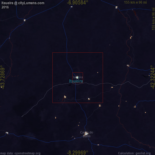
Analysis of Itaueira night lights 2016
Square area 10x10 km:
 0.43%
0.43%90-99
1.3%80-89
0%70-79
0.87%60-69
0%50-59
0.87%40-49
0%30-39
1.73%20-29
0%10-19
0%0-9
94.81%Square area 50x50 km:
0.04%90-99
0.09%80-89
0.03%70-79
0.03%60-69
0%50-59
0.18%40-49
0.06%30-39
0.1%20-29
0%10-19
0%0-9
99.47%Clear (daylight) street map image can be seen on geolist.org.
Map coordinates:
6° 54' 21" South, 43° 43' 43.3" West
7° 36' 12" South, 43° 1' 32" West
8° 17' 58.9" South, 42° 19' 20.8" West
Some cities around Itaueira sort by population:
• Floriano
93 km =57.8 mi,  0°
0°
• Oeiras
117.7 km =73.1 mi,  56°
56°
• São João dos Patos
144.1 km =89.5 mi,  328°
328°
• Regeneração
157.1 km =97.6 mi,  13°
13°
• São João do Piauí
120 km =74.6 mi,  134°
134°
• Canto do Buriti
57 km =35.4 mi,  170°
170°
• Amarante
152.5 km =94.8 mi, 7°
• Simplício Mendes
126 km =78.3 mi,  102°
102°
3397865 (p: 5,146)
Sources (retrieved 2019-11-25):
» Earth at Night: Flat Maps 2012, 2016