São Raimundo Nonato night lights from space
Night Light of São Raimundo Nonato (Piauí) from space (Brazil) Src. Average luminocity for 10x10km area is 25.8983% and for 50x50km: 1.6588%.
Analysis of São Raimundo Nonato night lights 2016
Square area 10x10 km:
 4.33%
4.33%90-99
6.93%80-89
0.87%70-79
0.87%60-69
3.46%50-59
5.41%40-49
1.3%30-39
3.03%20-29
3.25%10-19
24.89%0-9
45.67%Square area 50x50 km:
0.19%90-99
0.37%80-89
0.08%70-79
0.07%60-69
0.23%50-59
0.32%40-49
0.14%30-39
0.3%20-29
0.26%10-19
1.06%0-9
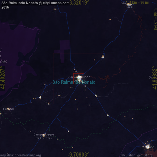
96.97%Clear (daylight) street map image can be seen on geolist.org.
Map coordinates:
8° 19' 12.7" South, 43° 24' 9.3" West
9° 0' 55" South, 42° 41' 58" West
9° 42' 32.5" South, 41° 59' 46.8" West
Some cities around São Raimundo Nonato sort by population:
• Xique Xique
201 km =124.9 mi,  180°
180°
• Oeiras
229.9 km =142.9 mi,  15°
15°
• Barra
235.7 km =146.5 mi,  191°
191°
• São João do Piauí
88.4 km =54.9 mi,  34°
34°
• Bom Jesus
182.3 km =113.3 mi,  267°
267°
• Canto do Buriti
104.2 km =64.7 mi,  345°
345°
• Simplício Mendes
155.6 km =96.7 mi, 33°
• Itaueira
161 km =100 mi, 347°
3388145 (p: 19,569)
Sources (retrieved 2019-11-25):
» Earth at Night: Flat Maps 2012, 2016