Cajazeiras night lights from space
Night Light of Cajazeiras (Paraíba) from space (Brazil) Src. Average luminocity for 10x10km area is 35.0065% and for 50x50km: 3.8971%.
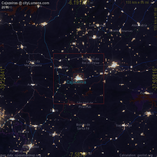
Analysis of Cajazeiras night lights 2016
Square area 10x10 km:
 8.01%
8.01%90-99
10.17%80-89
2.6%70-79
2.38%60-69
3.46%50-59
1.95%40-49
2.38%30-39
2.81%20-29
3.68%10-19
45.02%0-9
17.53%Square area 50x50 km:
0.42%90-99
0.67%80-89
0.25%70-79
0.39%60-69
0.56%50-59
0.74%40-49
0.48%30-39
0.44%20-29
0.61%10-19
2.16%0-9
93.28%Clear (daylight) street map image can be seen on geolist.org.
Map coordinates:
6° 11' 30.3" South, 39° 15' 30.3" West
6° 53' 25" South, 38° 33' 19" West
7° 35' 16.1" South, 37° 51' 7.8" West
Some cities around Cajazeiras sort by population:
• Sousa
39 km =24.2 mi,  68°
68°
• Lavras da Mangabeira
47.7 km =29.6 mi,  288°
288°
• Barro
39.4 km =24.5 mi,  299°
299°
• Aurora
45.9 km =28.5 mi,  262°
262°
• Juàzeirinho
56.4 km =35 mi,  81°
81°
• Serra Branca
50.9 km =31.6 mi,  38°
38°
• Uiraúna
44.3 km =27.5 mi,  20°
20°
• São José de Piranhas
26.3 km =16.3 mi,  167°
167°
3404020 (p: 43,913)
Sources (retrieved 2019-11-25):
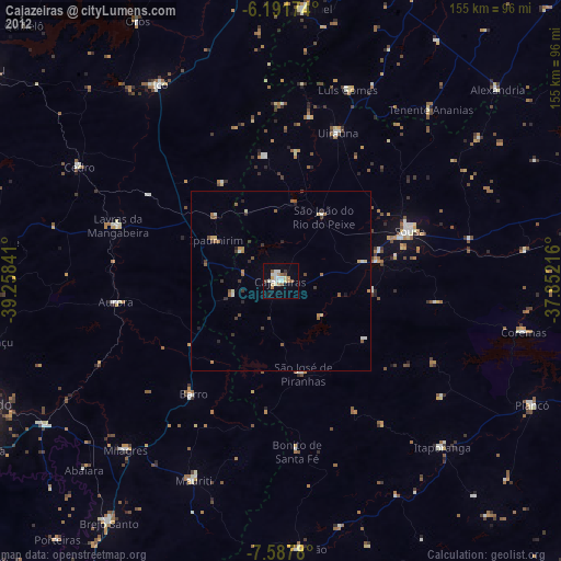
» Earth at Night: Flat Maps 2012, 2016