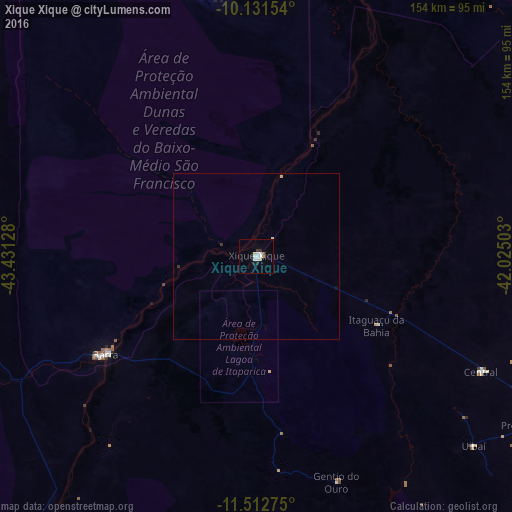
Xique Xique night lights from space
Night Light of Xique Xique (Bahia) from space (Brazil) Src. Average luminocity for 10x10km area is 12.2944% and for 50x50km: 0.5917%.

Analysis of Xique Xique night lights 2016
Square area 10x10 km:
 2.81%
2.81%90-99
3.25%80-89
1.73%70-79
0.43%60-69
0.65%50-59
0.65%40-49
0%30-39
1.3%20-29
1.3%10-19
1.73%0-9
86.15%Square area 50x50 km:
0.11%90-99
0.14%80-89
0.11%70-79
0.03%60-69
0.03%50-59
0.03%40-49
0%30-39
0.05%20-29
0.12%10-19
0.08%0-9
99.3%Clear (daylight) street map image can be seen on geolist.org.
Map coordinates:
10° 7' 53.5" South, 43° 25' 52.6" West
10° 49' 22.6" South, 42° 43' 41.3" West
11° 30' 45.9" South, 42° 1' 30.1" West
Some cities around Xique Xique sort by population:
• Irecê
109.2 km =67.9 mi,  119°
119°
• Barra
54 km =33.6 mi,  236°
236°
• Ibotirama
160.7 km =99.9 mi,  199°
199°
• Ibipeba
119.9 km =74.5 mi,  139°
139°
• Barro Alto
137.1 km =85.2 mi, 139°
• América Dourada
157.5 km =97.9 mi, 116°
• Lapão
115.9 km =72 mi, 122°
• Canarana
141.9 km =88.2 mi,  132°
132°
3444823 (p: 35,433)
Sources (retrieved 2019-11-25):
» Earth at Night: Flat Maps 2012, 2016