Bom Jesus night lights from space
Night Light of Bom Jesus (Piauí) from space (Brazil) Src. Average luminocity for 10x10km area is 19.4091% and for 50x50km: 1.3607%.
Analysis of Bom Jesus night lights 2016
Square area 10x10 km:
 3.46%
3.46%90-99
2.6%80-89
2.81%70-79
2.38%60-69
2.81%50-59
1.3%40-49
2.81%30-39
0.87%20-29
1.73%10-19
5.63%0-9
73.59%Square area 50x50 km:
0.14%90-99
0.14%80-89
0.18%70-79
0.14%60-69
0.26%50-59
0.22%40-49
0.31%30-39
0.1%20-29
0.24%10-19
0.22%0-9
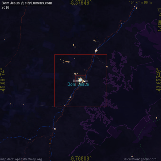
98.05%Clear (daylight) street map image can be seen on geolist.org.
Map coordinates:
8° 22' 46.1" South, 45° 3' 42.3" West
9° 4' 28" South, 44° 21' 31" West
9° 46' 5.1" South, 43° 39' 19.8" West
Some cities around Bom Jesus sort by population:
• Balsas
251.9 km =156.5 mi,  312°
312°
• São Raimundo Nonato
182.3 km =113.3 mi,  87°
87°
• Formosa do Rio Preto
237.7 km =147.7 mi,  202°
202°
• São João do Piauí
245.4 km =152.5 mi,  71°
71°
• Uruçuí
206.3 km =128.2 mi,  353°
353°
• Canto do Buriti
188.9 km =117.4 mi,  55°
55°
• São Raimundo das Mangabeiras
259.5 km =161.2 mi,  331°
331°
• Itaueira
219.7 km =136.5 mi,  41°
41°
3405304 (p: 12,666)
Sources (retrieved 2019-11-25):
» Earth at Night: Flat Maps 2012, 2016