Barra night lights from space
Night Light of Barra (Bahia) from space (Brazil) Src. Average luminocity for 10x10km area is 17.4026% and for 50x50km: 0.7731%.
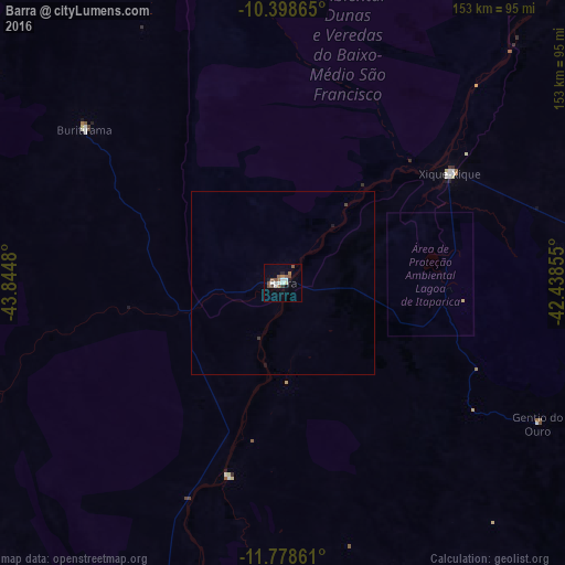
Analysis of Barra night lights 2016
Square area 10x10 km:
 3.9%
3.9%90-99
2.38%80-89
0.65%70-79
0.87%60-69
1.3%50-59
7.14%40-49
1.08%30-39
1.3%20-29
2.16%10-19
2.16%0-9
77.06%Square area 50x50 km:
0.15%90-99
0.09%80-89
0.03%70-79
0.03%60-69
0.05%50-59
0.28%40-49
0.08%30-39
0.08%20-29
0.08%10-19
0.14%0-9
98.98%Clear (daylight) street map image can be seen on geolist.org.
Map coordinates:
10° 23' 55.1" South, 43° 50' 41.3" West
11° 5' 22" South, 43° 8' 30" West
11° 46' 43" South, 42° 26' 18.8" West
Some cities around Barra sort by population:
• Irecê
142.3 km =88.4 mi,  99°
99°
• Xique Xique
54 km =33.6 mi,  56°
56°
• Ibotirama
122.1 km =75.9 mi,  184°
184°
• Ibipeba
137.6 km =85.5 mi,  116°
116°
• Barro Alto
153.4 km =95.3 mi, 119°
• Lapão
146.5 km =91 mi, 102°
• Canarana
163.6 km =101.7 mi,  113°
113°
• Oliveira dos Brejinhos
139.1 km =86.4 mi,  168°
168°
3470821 (p: 20,894)
Sources (retrieved 2019-11-25):
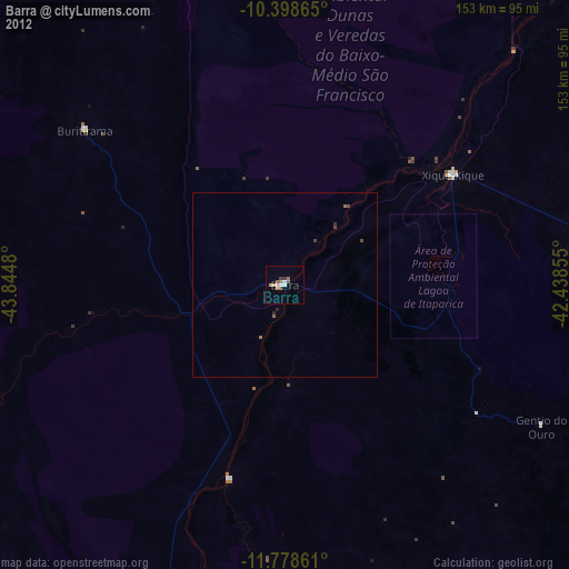
» Earth at Night: Flat Maps 2012, 2016