São Pedro night lights from space
Night Light of São Pedro (São Paulo) from space (Brazil) Src. Average luminocity for 10x10km area is 36.8561% and for 50x50km: 8.9814%.
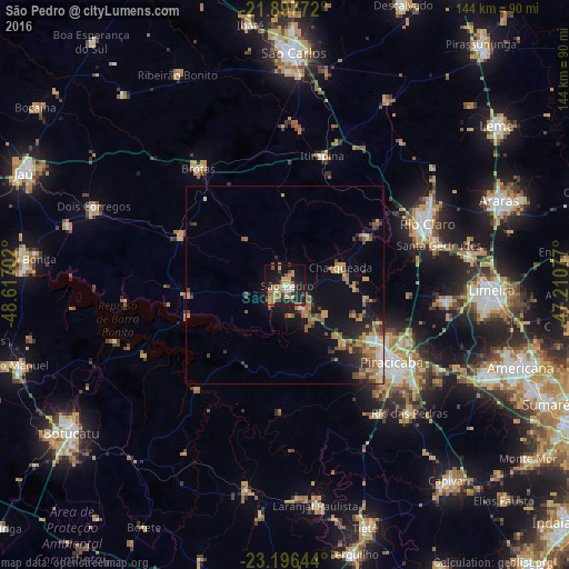
Analysis of São Pedro night lights 2016
Square area 10x10 km:
 1.89%
1.89%90-99
2.65%80-89
3.41%70-79
11.93%60-69
9.85%50-59
6.63%40-49
3.03%30-39
4.36%20-29
7.95%10-19
35.04%0-9
13.26%Square area 50x50 km:
0.64%90-99
0.67%80-89
0.91%70-79
1.87%60-69
1.84%50-59
1.93%40-49
1.29%30-39
1.43%20-29
1.69%10-19
6.47%0-9
81.27%Clear (daylight) street map image can be seen on geolist.org.
Map coordinates:
21° 53' 51.8" South, 48° 37' 1.3" West
22° 32' 55" South, 47° 54' 50" West
23° 11' 47.2" South, 47° 12' 38.8" West
Some cities around São Pedro sort by population:
• Piracicaba
33.5 km =20.8 mi,  125°
125°
• Rio Claro
39.3 km =24.4 mi,  67°
67°
• Rio das Pedras
45.5 km =28.3 mi,  136°
136°
• Brotas
36.6 km =22.7 mi,  323°
323°
• Santa Gertrudes
40.7 km =25.3 mi,  75°
75°
• Iracemápolis
40.7 km =25.3 mi,  95°
95°
• Itirapina
34.2 km =21.3 mi,  15°
15°
• Charqueada
14.6 km =9.1 mi, 72°
3448403 (p: 27,068)
Sources (retrieved 2019-11-25):
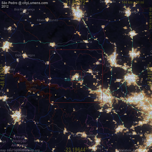
» Earth at Night: Flat Maps 2012, 2016