Rio Claro night lights from space
Night Light of Rio Claro (São Paulo) from space (Brazil) Src. Average luminocity for 10x10km area is 64.7027% and for 50x50km: 20.6794%.
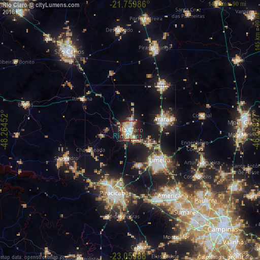
Analysis of Rio Claro night lights 2016
Square area 10x10 km:
 14.58%
90-99
14.2%80-89
7.39%70-79
16.48%60-69
6.06%50-59
6.44%40-49
7.2%30-39
6.25%20-29
17.8%10-19
3.6%0-9
0%Square area 50x50 km:
2.79%90-99
3.12%80-89
1.92%70-79
3.65%60-69
2.75%50-59
2.72%40-49
2.68%30-39
3.51%20-29
5.28%10-19
15.16%0-9
56.41%Clear (daylight) street map image can be seen on geolist.org.
Map coordinates:
21° 45' 35.5" South, 48° 15' 52.3" West
22° 24' 41" South, 47° 33' 41" West
23° 3' 35.6" South, 46° 51' 29.8" West
Some cities around Rio Claro sort by population:
• Limeira
23.7 km =14.7 mi,  136°
136°
• Araras
19.2 km =11.9 mi,  71°
71°
• Leme
30.7 km =19.1 mi,  35°
35°
• Cordeirópolis
13.3 km =8.3 mi,  126°
126°
• Santa Gertrudes
6 km =3.7 mi,  147°
147°
• Iracemápolis
19.3 km =12 mi,  166°
166°
• Itirapina
32.2 km =20 mi,  303°
303°
• Charqueada
24.8 km =15.4 mi,  243°
243°
3451234 (p: 180,147)
Sources (retrieved 2019-11-25):
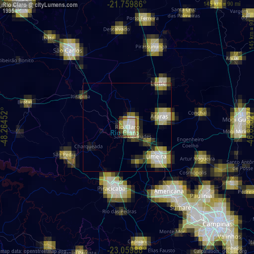
» NASA, Earths city lights 1995
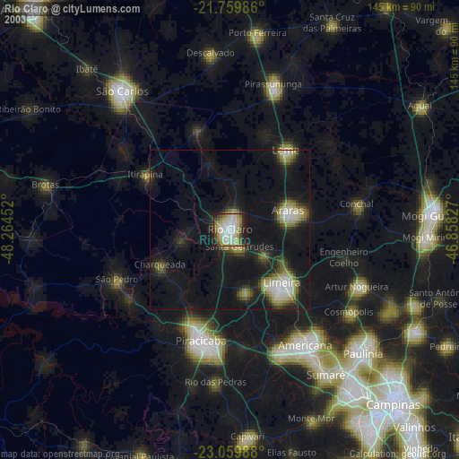
» NASA city lights 2003
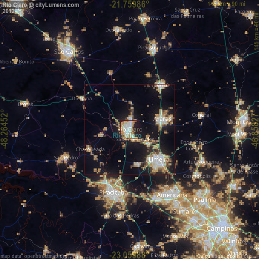
» Earth at Night: Flat Maps 2012, 2016