São Lourenço do Sul night lights from space
Night Light of São Lourenço do Sul (Rio Grande do Sul) from space (Brazil) Src. Average luminocity for 10x10km area is 14.9983% and for 50x50km: 0.7472%.

Analysis of São Lourenço do Sul night lights 2016
Square area 10x10 km:
 3.15%
3.15%90-99
2.45%80-89
1.4%70-79
0.7%60-69
1.22%50-59
2.97%40-49
1.05%30-39
2.1%20-29
2.1%10-19
2.97%0-9
79.9%Square area 50x50 km:
0.13%90-99
0.1%80-89
0.06%70-79
0.03%60-69
0.06%50-59
0.18%40-49
0.08%30-39
0.12%20-29
0.1%10-19
0.17%0-9
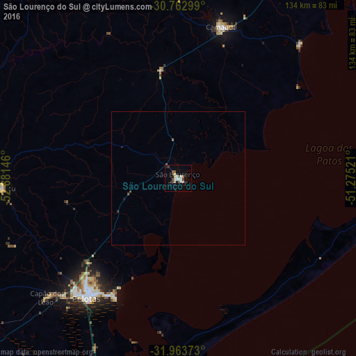
98.96%Clear (daylight) street map image can be seen on geolist.org.
Map coordinates:
30° 45' 46.8" South, 52° 40' 53.3" West
31° 21' 55" South, 51° 58' 42" West
31° 57' 49.4" South, 51° 16' 30.8" West
Some cities around São Lourenço do Sul sort by population:
• Pelotas
56.6 km =35.2 mi,  217°
217°
• Rio Grande
75.3 km =46.8 mi,  188°
188°
• Camaquã
59.3 km =36.8 mi,  15°
15°
• Canguçu
66.3 km =41.2 mi,  267°
267°
• Butiá
138.5 km =86.1 mi,  0°
0°
• Tapes
94.9 km =59 mi,  35°
35°
• Encruzilhada do Sul
105 km =65.2 mi,  330°
330°
• Pinheiro Machado
135.1 km =83.9 mi,  259°
259°
3448596 (p: 25,340)
Sources (retrieved 2019-11-25):
» Earth at Night: Flat Maps 2012, 2016