Encruzilhada do Sul night lights from space
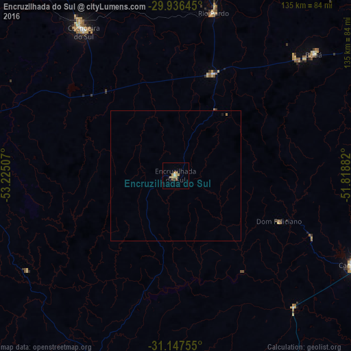
Night Light of Encruzilhada do Sul (Rio Grande do Sul) from space (Brazil) Src. Average luminocity for 10x10km area is 8.293% and for 50x50km: 0.3782%.
Analysis of Encruzilhada do Sul night lights 2016
Square area 10x10 km:
 0.37%
0.37%90-99
0.37%80-89
2.01%70-79
2.56%60-69
2.01%50-59
0.73%40-49
0.73%30-39
0.73%20-29
0%10-19
0%0-9
90.48%Square area 50x50 km:
0.01%90-99
0.01%80-89
0.08%70-79
0.1%60-69
0.12%50-59
0.03%40-49
0.03%30-39
0.04%20-29
0%10-19
0.03%0-9
99.53%Clear (daylight) street map image can be seen on geolist.org.
Map coordinates:
29° 56' 11.2" South, 53° 13' 30.3" West
30° 32' 38" South, 52° 31' 19" West
31° 8' 51.2" South, 51° 49' 7.8" West
Some cities around Encruzilhada do Sul sort by population:
• Santa Cruz do Sul
92.3 km =57.4 mi,  5°
5°
• Cachoeira do Sul
66.5 km =41.3 mi,  327°
327°
• Camaquã
76 km =47.2 mi,  116°
116°
• Rio Pardo
63.1 km =39.2 mi, 12°
• Canguçu
95.8 km =59.5 mi,  188°
188°
• Butiá
71.5 km =44.4 mi,  48°
48°
• Caçapava do Sul
92.3 km =57.4 mi,  272°
272°
• Arroio dos Ratos
92.1 km =57.2 mi,  55°
55°
3464255 (p: 17,199)
Sources (retrieved 2019-11-25):
» Earth at Night: Flat Maps 2012, 2016