Camaquã night lights from space
Night Light of Camaquã (Rio Grande do Sul) from space (Brazil) Src. Average luminocity for 10x10km area is 25.1976% and for 50x50km: 1.6179%.
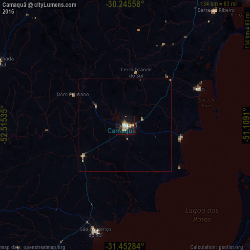
Analysis of Camaquã night lights 2016
Square area 10x10 km:
 3.32%
3.32%90-99
3.32%80-89
3.32%70-79
5.94%60-69
3.67%50-59
1.57%40-49
0.87%30-39
4.72%20-29
1.75%10-19
26.92%0-9
44.58%Square area 50x50 km:
0.16%90-99
0.15%80-89
0.24%70-79
0.42%60-69
0.23%50-59
0.12%40-49
0.07%30-39
0.35%20-29
0.13%10-19
1.22%0-9
96.92%Clear (daylight) street map image can be seen on geolist.org.
Map coordinates:
30° 14' 44.1" South, 52° 30' 55.3" West
30° 51' 4" South, 51° 48' 44" West
31° 27' 10.2" South, 51° 6' 32.8" West
Some cities around Camaquã sort by population:
• Guaíba
94.3 km =58.6 mi,  29°
29°
• São Lourenço do Sul
59.3 km =36.8 mi,  195°
195°
• Butiá
82.6 km =51.3 mi,  349°
349°
• Tapes
44.4 km =27.6 mi,  63°
63°
• Encruzilhada do Sul
76 km =47.2 mi,  296°
296°
• São Jerônimo
99.5 km =61.8 mi,  4°
4°
• Triunfo
101.3 km =62.9 mi,  5°
5°
• Arroio dos Ratos
86.4 km =53.7 mi, 5°
3468014 (p: 53,169)
Sources (retrieved 2019-11-25):
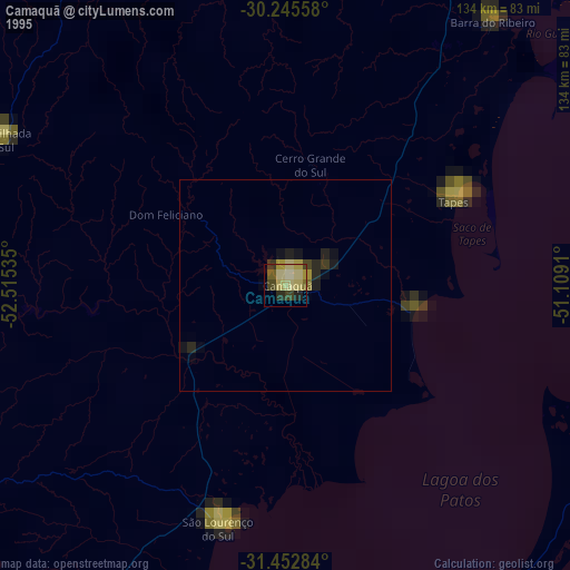
» NASA, Earths city lights 1995
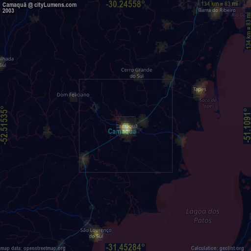
» NASA city lights 2003
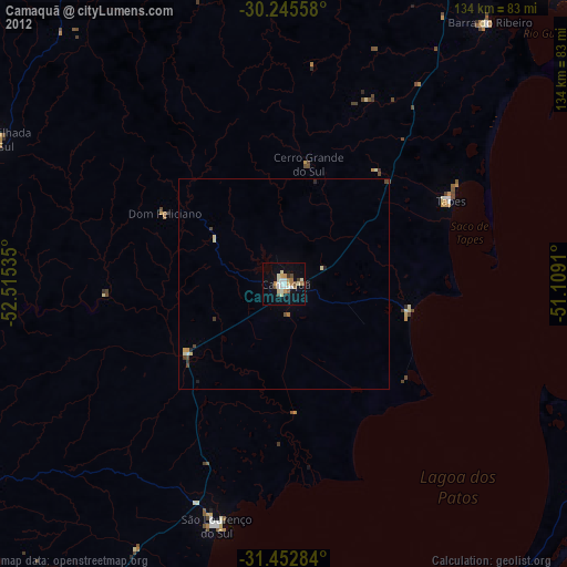
» Earth at Night: Flat Maps 2012, 2016