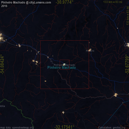
Pinheiro Machado night lights from space
Night Light of Pinheiro Machado (Rio Grande do Sul) from space (Brazil) Src. Average luminocity for 10x10km area is 2.6591% and for 50x50km: 0.2075%.
Analysis of Pinheiro Machado night lights 2016
Square area 10x10 km:
 0.17%
0.17%90-99
0.52%80-89
0%70-79
0.87%60-69
1.22%50-59
0%40-49
0%30-39
0%20-29
0.87%10-19
0.52%0-9
95.8%Square area 50x50 km:
0.01%90-99
0.02%80-89
0%70-79
0.07%60-69
0.05%50-59
0.03%40-49
0.06%30-39
0.04%20-29
0.04%10-19
0.04%0-9
99.65%Clear (daylight) street map image can be seen on geolist.org.
Map coordinates:
30° 58' 38.6" South, 54° 5' 3.3" West
31° 34' 42" South, 53° 22' 52" West
32° 10' 31.5" South, 52° 40' 40.8" West
Some cities around Pinheiro Machado sort by population:
• Pelotas
100.7 km =62.6 mi,  102°
102°
• Bagé
74.1 km =46 mi,  291°
291°
• Melo, UY
115.1 km =71.5 mi,  220°
220°
• Jaguarão
109.8 km =68.2 mi,  179°
179°
• Canguçu
69.9 km =43.4 mi,  73°
73°
• Herval
49.5 km =30.8 mi, 181°
• Arroio Grande
78.4 km =48.7 mi,  159°
159°
• Río Branco, UY
113.4 km =70.5 mi, 180°
3453741 (p: 11,176)
Sources (retrieved 2019-11-25):
» Earth at Night: Flat Maps 2012, 2016