Tapes night lights from space
Night Light of Tapes (Rio Grande do Sul) from space (Brazil) Src. Average luminocity for 10x10km area is 7.4913% and for 50x50km: 0.487%.
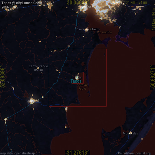
Analysis of Tapes night lights 2016
Square area 10x10 km:
 0.17%
0.17%90-99
1.22%80-89
0.7%70-79
1.4%60-69
1.22%50-59
2.1%40-49
0.87%30-39
2.1%20-29
0.7%10-19
0%0-9
89.51%Square area 50x50 km:
0.01%90-99
0.05%80-89
0.03%70-79
0.15%60-69
0.05%50-59
0.11%40-49
0.07%30-39
0.18%20-29
0.08%10-19
0%0-9
99.27%Clear (daylight) street map image can be seen on geolist.org.
Map coordinates:
30° 4' 0.1" South, 52° 5' 56.3" West
30° 40' 24" South, 51° 23' 45" West
31° 16' 34.2" South, 50° 41' 33.8" West
Some cities around Tapes sort by population:
• Porto Alegre
73 km =45.4 mi,  12°
12°
• Viamão
74.9 km =46.5 mi,  28°
28°
• Cachoeirinha
85.4 km =53.1 mi,  19°
19°
• Guaíba
62.6 km =38.9 mi, 6°
• Camaquã
44.4 km =27.6 mi,  243°
243°
• Charqueadas
82.9 km =51.5 mi,  344°
344°
• Butiá
82.1 km =51 mi,  318°
318°
• Arroio dos Ratos
73.6 km =45.7 mi,  334°
334°
3446880 (p: 18,570)
Sources (retrieved 2019-11-25):
» Earth at Night: Flat Maps 2012, 2016