Santo Antônio do Içá night lights from space
Night Light of Santo Antônio do Içá (Amazonas) from space (Brazil) Src. Average luminocity for 10x10km area is 4.4892% and for 50x50km: 0.1963%.
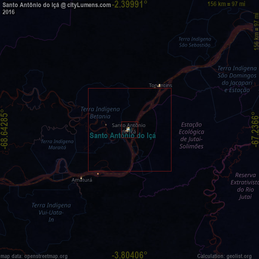
Analysis of Santo Antônio do Içá night lights 2016
Square area 10x10 km:
 0.43%
0.43%90-99
1.3%80-89
0%70-79
1.08%60-69
0.65%50-59
0%40-49
0.43%30-39
2.16%20-29
0%10-19
0%0-9
93.94%Square area 50x50 km:
0.02%90-99
0.05%80-89
0%70-79
0.04%60-69
0.03%50-59
0%40-49
0.02%30-39
0.12%20-29
0%10-19
0%0-9
99.72%Clear (daylight) street map image can be seen on geolist.org.
Map coordinates:
2° 23' 59.7" South, 68° 38' 34.3" West
3° 6' 8" South, 67° 56' 23" West
3° 48' 14.6" South, 67° 14' 11.8" West
Some cities around Santo Antônio do Içá sort by population:
• Leticia, CO
254.2 km =158 mi,  240°
240°
• Tabatinga
254.9 km =158.4 mi, 240°
• Carauari
229.4 km =142.5 mi,  149°
149°
• Fonte Boa
215.4 km =133.8 mi,  72°
72°
• Benjamin Constant
271.9 km =169 mi, 238°
• São Paulo de Olivença
108 km =67.1 mi,  253°
253°
• Jutaí
254.7 km =158.3 mi,  204°
204°
• Ramón Castilla, PE
258.3 km =160.5 mi, 240°
3662395 (p: 9,302)
Sources (retrieved 2019-11-25):
» Earth at Night: Flat Maps 2012, 2016