São Francisco do Sul night lights from space
Night Light of São Francisco do Sul (Santa Catarina) from space (Brazil) Src. Average luminocity for 10x10km area is 30.1032% and for 50x50km: 15.1596%.
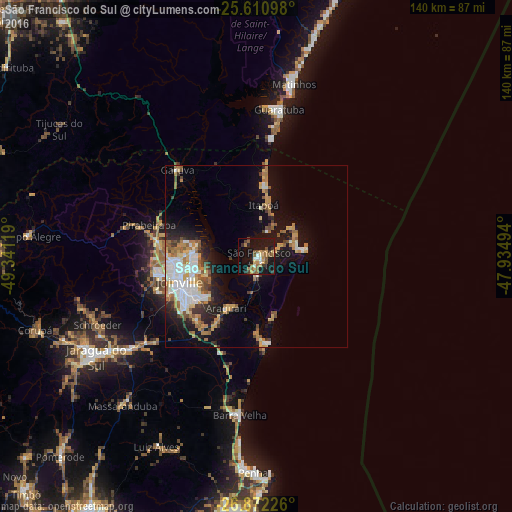
Analysis of São Francisco do Sul night lights 2016
Square area 10x10 km:
 1.98%
1.98%90-99
3.17%80-89
2.78%70-79
5.75%60-69
5.95%50-59
7.54%40-49
3.57%30-39
3.97%20-29
2.98%10-19
42.46%0-9
19.84%Square area 50x50 km:
2.67%90-99
2.65%80-89
1.56%70-79
2.09%60-69
2.4%50-59
2.32%40-49
1.15%30-39
1.59%20-29
2.65%10-19
9.76%0-9
71.17%Clear (daylight) street map image can be seen on geolist.org.
Map coordinates:
25° 36' 39.5" South, 49° 20' 28.3" West
26° 14' 36" South, 48° 38' 17" West
26° 52' 20.1" South, 47° 56' 5.8" West
Some cities around São Francisco do Sul sort by population:
• Joinville
21.8 km =13.5 mi,  251°
251°
• Jaraguá do Sul
50.5 km =31.4 mi,  237°
237°
• Guaramirim
44.4 km =27.6 mi,  234°
234°
• Penha
58.5 km =36.4 mi,  180°
180°
• Guaratuba
40.6 km =25.2 mi,  8°
8°
• Barra Velha
43.5 km =27 mi,  186°
186°
• Schroeder
47.3 km =29.4 mi, 246°
• Corupá
63.6 km =39.5 mi, 251°
3449112 (p: 36,224)
Sources (retrieved 2019-11-25):
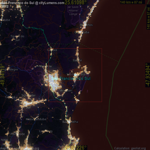
» Earth at Night: Flat Maps 2012, 2016