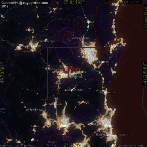
Guaramirim night lights from space
Night Light of Guaramirim (Santa Catarina) from space (Brazil) Src. Average luminocity for 10x10km area is 36.036% and for 50x50km: 17.5501%.
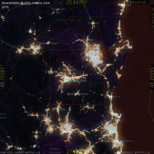
Analysis of Guaramirim night lights 2016
Square area 10x10 km:
 4.36%
4.36%90-99
5.49%80-89
1.89%70-79
4.73%60-69
5.11%50-59
9.09%40-49
4.92%30-39
6.44%20-29
13.07%10-19
36.93%0-9
7.95%Square area 50x50 km:
3.04%90-99
3.06%80-89
1.46%70-79
1.78%60-69
2.74%50-59
3.33%40-49
2.18%30-39
2.79%20-29
4.76%10-19
8.81%0-9
66.06%Clear (daylight) street map image can be seen on geolist.org.
Map coordinates:
25° 50' 31" South, 49° 42' 21.3" West
26° 28' 23" South, 49° 0' 10" West
27° 6' 2.6" South, 48° 17' 58.8" West
Some cities around Guaramirim sort by population:
• Joinville
24.4 km =15.2 mi,  39°
39°
• Jaraguá do Sul
6.5 km =4 mi,  257°
257°
• São Bento do Sul
44.9 km =27.9 mi,  303°
303°
• São Francisco do Sul
44.4 km =27.6 mi,  54°
54°
• Pomerode
34.4 km =21.4 mi,  210°
210°
• Barra Velha
36.2 km =22.5 mi,  119°
119°
• Schroeder
9.7 km =6 mi,  313°
313°
• Corupá
24.5 km =15.2 mi,  282°
282°
3461914 (p: 21,422)
Sources (retrieved 2019-11-25):
» Earth at Night: Flat Maps 2012, 2016