Santa Rita night lights from space
Night Light of Santa Rita (Paraíba) from space (Brazil) Src. Average luminocity for 10x10km area is 61.3593% and for 50x50km: 22.6181%.
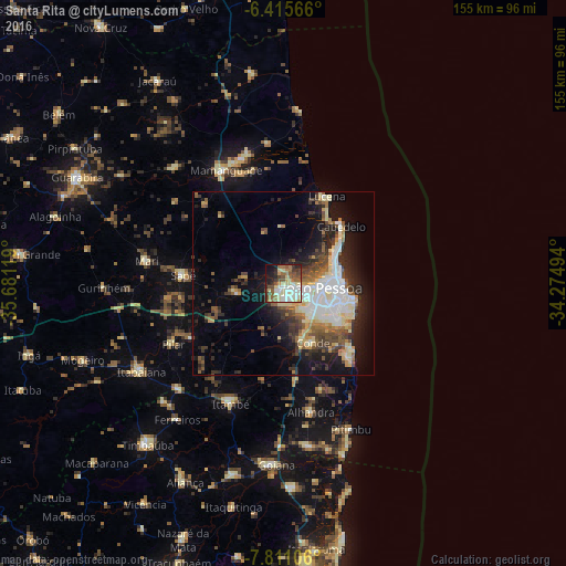
Analysis of Santa Rita night lights 2016
Square area 10x10 km:
 8.23%
8.23%90-99
17.75%80-89
13.42%70-79
3.25%60-69
8.44%50-59
11.26%40-49
10.39%30-39
6.71%20-29
9.31%10-19
9.96%0-9
1.3%Square area 50x50 km:
3.89%90-99
4.16%80-89
3.68%70-79
1.63%60-69
2.35%50-59
3.35%40-49
3.75%30-39
3.43%20-29
5.42%10-19
11.22%0-9
57.14%Clear (daylight) street map image can be seen on geolist.org.
Map coordinates:
6° 24' 56.4" South, 35° 40' 52.3" West
7° 6' 50" South, 34° 58' 41" West
7° 48' 39.8" South, 34° 16' 29.8" West
Some cities around Santa Rita sort by population:
• João Pessoa
12.7 km =7.9 mi,  90°
90°
• Bayeux
5.2 km =3.2 mi,  103°
103°
• Cabedelo
21.7 km =13.5 mi,  47°
47°
• Mamanguape
34.7 km =21.6 mi,  331°
331°
• Conde
18 km =11.2 mi,  154°
154°
• Pedras de Fogo
35.5 km =22.1 mi,  205°
205°
• Pilar
35.5 km =22.1 mi,  241°
241°
• Cruz do Espírito Santo
12.3 km =7.6 mi,  256°
256°
3389321 (p: 119,893)
Sources (retrieved 2019-11-25):
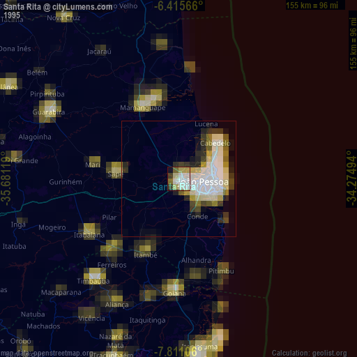
» NASA, Earths city lights 1995
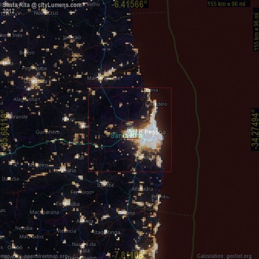
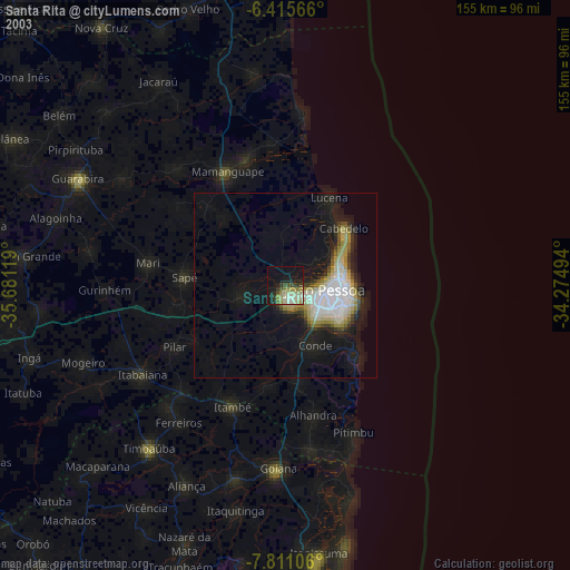
» NASA city lights 2003
» Earth at Night: Flat Maps 2012, 2016