Sabinópolis night lights from space
Night Light of Sabinópolis (Minas Gerais) from space (Brazil) Src. Average luminocity for 10x10km area is 5.0661% and for 50x50km: 1.066%.
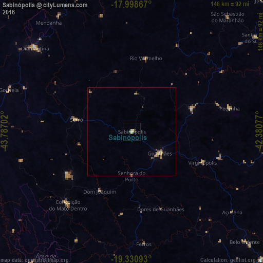
Analysis of Sabinópolis night lights 2016
Square area 10x10 km:
 0%
0%90-99
0.83%80-89
0.62%70-79
2.48%60-69
0.21%50-59
0%40-49
1.65%30-39
0.83%20-29
0%10-19
0%0-9
93.39%Square area 50x50 km:
0.05%90-99
0.05%80-89
0.21%70-79
0.29%60-69
0.13%50-59
0.19%40-49
0.27%30-39
0.13%20-29
0.02%10-19
0.06%0-9
98.6%Clear (daylight) street map image can be seen on geolist.org.
Map coordinates:
17° 59' 55.2" South, 43° 47' 13.3" West
18° 39' 58" South, 43° 5' 2" West
19° 19' 51.3" South, 42° 22' 50.8" West
Some cities around Sabinópolis sort by population:
• Diamantina
71.9 km =44.7 mi,  310°
310°
• Guanhães
20 km =12.4 mi,  127°
127°
• Belo Oriente
88.2 km =54.8 mi, 134°
• Açucena
72.4 km =45 mi, 128°
• Serro
31.9 km =19.8 mi,  282°
282°
• Conceição do Mato Dentro
54.7 km =34 mi,  221°
221°
• São João Evangelista
36.3 km =22.6 mi,  68°
68°
• Peçanha
57 km =35.4 mi,  76°
76°
3450806 (p: 9,713)
Sources (retrieved 2019-11-25):
» Earth at Night: Flat Maps 2012, 2016