Serro night lights from space
Night Light of Serro (Minas Gerais) from space (Brazil) Src. Average luminocity for 10x10km area is 6.3657% and for 50x50km: 0.5344%.
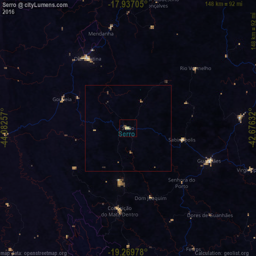
Analysis of Serro night lights 2016
Square area 10x10 km:
 0%
0%90-99
0%80-89
2.69%70-79
1.45%60-69
0.83%50-59
0.83%40-49
2.48%30-39
0%20-29
0%10-19
0%0-9
91.74%Square area 50x50 km:
0%90-99
0%80-89
0.11%70-79
0.19%60-69
0.03%50-59
0.06%40-49
0.26%30-39
0.1%20-29
0.08%10-19
0.02%0-9
99.16%Clear (daylight) street map image can be seen on geolist.org.
Map coordinates:
17° 56' 13.4" South, 44° 4' 57.3" West
18° 36' 17" South, 43° 22' 46" West
19° 16' 11.2" South, 42° 40' 34.8" West
Some cities around Serro sort by population:
• Diamantina
46.3 km =28.8 mi,  329°
329°
• Guanhães
50.7 km =31.5 mi,  111°
111°
• Itamarandiba
99.6 km =61.9 mi,  33°
33°
• Açucena
102 km =63.4 mi,  120°
120°
• Conceição do Mato Dentro
48.3 km =30 mi,  185°
185°
• São João Evangelista
65.2 km =40.5 mi,  84°
84°
• Sabinópolis
31.9 km =19.8 mi,  102°
102°
• Peçanha
86.9 km =54 mi,  85°
85°
3447672 (p: 12,616)
Sources (retrieved 2019-11-25):
» Earth at Night: Flat Maps 2012, 2016