Diamantina night lights from space
Night Light of Diamantina (Minas Gerais) from space (Brazil) Src. Average luminocity for 10x10km area is 18.3831% and for 50x50km: 1.3819%.
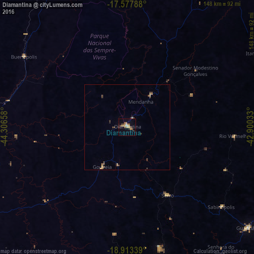
Analysis of Diamantina night lights 2016
Square area 10x10 km:
 0.65%
0.65%90-99
1.95%80-89
2.6%70-79
6.06%60-69
1.52%50-59
3.68%40-49
1.3%30-39
2.81%20-29
0.87%10-19
6.06%0-9
72.51%Square area 50x50 km:
0.02%90-99
0.08%80-89
0.19%70-79
0.44%60-69
0.09%50-59
0.23%40-49
0.36%30-39
0.3%20-29
0.14%10-19
0.35%0-9
97.79%Clear (daylight) street map image can be seen on geolist.org.
Map coordinates:
17° 34' 40.4" South, 44° 18' 23.7" West
18° 14' 48.9" South, 43° 36' 12.4" West
18° 54' 48.2" South, 42° 54' 1.2" West
Some cities around Diamantina sort by population:
• Curvelo
104 km =64.6 mi,  237°
237°
• Guanhães
91.9 km =57.1 mi,  129°
129°
• Corinto
91.3 km =56.7 mi,  260°
260°
• Itamarandiba
89.9 km =55.9 mi,  61°
61°
• Serro
46.3 km =28.8 mi,  149°
149°
• Conceição do Mato Dentro
89.9 km =55.9 mi,  167°
167°
• São João Evangelista
94.7 km =58.8 mi,  110°
110°
• Sabinópolis
71.9 km =44.7 mi, 130°
3464728 (p: 37,343)
Sources (retrieved 2019-11-25):
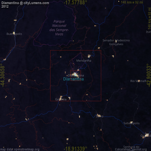
» Earth at Night: Flat Maps 2012, 2016