Peçanha night lights from space
Night Light of Peçanha (Minas Gerais) from space (Brazil) Src. Average luminocity for 10x10km area is 6.4194% and for 50x50km: 0.8934%.
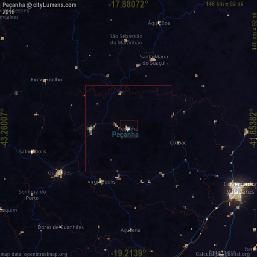
Analysis of Peçanha night lights 2016
Square area 10x10 km:
 0%
0%90-99
0.83%80-89
2.07%70-79
2.48%60-69
0.41%50-59
0.83%40-49
0%30-39
0%20-29
0%10-19
0%0-9
93.39%Square area 50x50 km:
0%90-99
0.06%80-89
0.17%70-79
0.27%60-69
0.09%50-59
0.14%40-49
0.28%30-39
0.19%20-29
0.06%10-19
0.01%0-9
98.73%Clear (daylight) street map image can be seen on geolist.org.
Map coordinates:
17° 52' 50.6" South, 43° 15' 36.3" West
18° 32' 55" South, 42° 33' 25" West
19° 12' 50" South, 41° 51' 13.8" West
Some cities around Peçanha sort by population:
• Governador Valadares
72.3 km =44.9 mi,  117°
117°
• Guanhães
46.9 km =29.1 mi,  237°
237°
• Belo Oriente
75 km =46.6 mi,  174°
174°
• Itamarandiba
83.2 km =51.7 mi,  337°
337°
• Açucena
58.3 km =36.2 mi,  178°
178°
• São João Evangelista
21.8 km =13.5 mi,  270°
270°
• Santa Maria do Suaçuí
42.6 km =26.5 mi,  20°
20°
• Sabinópolis
57 km =35.4 mi,  256°
256°
3454628 (p: 6,902)
Sources (retrieved 2019-11-25):
» Earth at Night: Flat Maps 2012, 2016