Conceição do Mato Dentro night lights from space
Night Light of Conceição do Mato Dentro (Minas Gerais) from space (Brazil) Src. Average luminocity for 10x10km area is 9.7641% and for 50x50km: 1.164%.
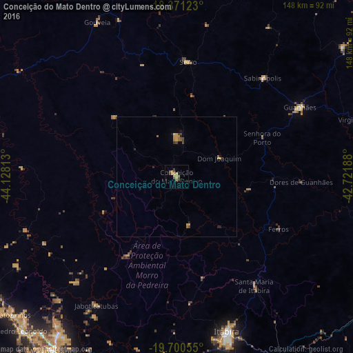
Analysis of Conceição do Mato Dentro night lights 2016
Square area 10x10 km:
 0%
0%90-99
0%80-89
0.43%70-79
5.63%60-69
0.87%50-59
1.52%40-49
3.25%30-39
2.16%20-29
0%10-19
0%0-9
86.15%Square area 50x50 km:
0%90-99
0.03%80-89
0.13%70-79
0.45%60-69
0.21%50-59
0.15%40-49
0.29%30-39
0.18%20-29
0.2%10-19
0.12%0-9
98.23%Clear (daylight) street map image can be seen on geolist.org.
Map coordinates:
18° 22' 16.4" South, 44° 7' 41.3" West
19° 2' 14" South, 43° 25' 30" West
19° 42' 2" South, 42° 43' 18.8" West
Some cities around Conceição do Mato Dentro sort by population:
• Itabira
68 km =42.3 mi,  162°
162°
• Vespasiano
89.6 km =55.7 mi,  215°
215°
• Lagoa Santa
82.7 km =51.4 mi, 217°
• Guanhães
59.4 km =36.9 mi,  60°
60°
• Nova Era
89.1 km =55.4 mi,  152°
152°
• Serro
48.3 km =30 mi,  5°
5°
• São João Evangelista
88.4 km =54.9 mi,  51°
51°
• Sabinópolis
54.7 km =34 mi,  41°
41°
3465745 (p: 10,708)
Sources (retrieved 2019-11-25):
» Earth at Night: Flat Maps 2012, 2016