Araci night lights from space
Night Light of Araci (Bahia) from space (Brazil) Src. Average luminocity for 10x10km area is 14.8571% and for 50x50km: 2.282%.
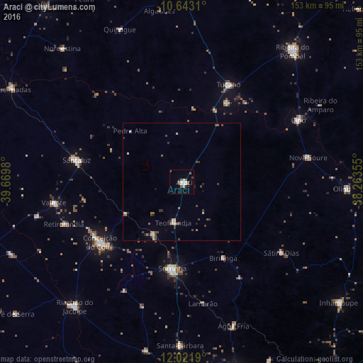
Analysis of Araci night lights 2016
Square area 10x10 km:
 2.16%
2.16%90-99
4.76%80-89
0%70-79
0%60-69
1.3%50-59
5.63%40-49
1.52%30-39
0.43%20-29
0.65%10-19
0%0-9
83.55%Square area 50x50 km:
0.17%90-99
0.45%80-89
0.19%70-79
0.08%60-69
0.28%50-59
0.5%40-49
0.58%30-39
0.46%20-29
0.34%10-19
0.25%0-9
96.71%Clear (daylight) street map image can be seen on geolist.org.
Map coordinates:
10° 38' 35.2" South, 39° 40' 11.3" West
11° 19' 60" South, 38° 58' 0" West
12° 1' 18.8" South, 38° 15' 48.8" West
Some cities around Araci sort by population:
• Serrinha
37.1 km =23.1 mi,  186°
186°
• Conceição do Coité
42.9 km =26.7 mi,  233°
233°
• Tucano
45.9 km =28.5 mi,  24°
24°
• Santaluz
45.3 km =28.1 mi,  280°
280°
• Valente
54.7 km =34 mi,  260°
260°
• Olindina
69.1 km =42.9 mi,  93°
93°
• Nova Soure
53.9 km =33.5 mi,  78°
78°
• Cipó
55.8 km =34.7 mi,  62°
62°
3471854 (p: 15,088)
Sources (retrieved 2019-11-25):
» Earth at Night: Flat Maps 2012, 2016