Conceição do Coité night lights from space
Night Light of Conceição do Coité (Bahia) from space (Brazil) Src. Average luminocity for 10x10km area is 40.1472% and for 50x50km: 5.3498%.
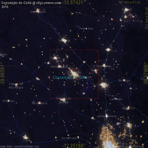
Analysis of Conceição do Coité night lights 2016
Square area 10x10 km:
 6.28%
6.28%90-99
8.23%80-89
0.22%70-79
5.84%60-69
8.87%50-59
7.79%40-49
4.55%30-39
5.41%20-29
6.93%10-19
39.39%0-9
6.49%Square area 50x50 km:
0.4%90-99
0.68%80-89
0.23%70-79
0.53%60-69
0.8%50-59
1.42%40-49
0.67%30-39
1.01%20-29
0.91%10-19
3.05%0-9
90.31%Clear (daylight) street map image can be seen on geolist.org.
Map coordinates:
10° 52' 27.2" South, 39° 59' 9.3" West
11° 33' 50" South, 39° 16' 58" West
12° 15' 6.8" South, 38° 34' 46.8" West
Some cities around Conceição do Coité sort by population:
• Serrinha
32 km =19.9 mi,  110°
110°
• Santaluz
35.7 km =22.2 mi,  343°
343°
• Riachão do Jacuípe
29.3 km =18.2 mi,  202°
202°
• Araci
42.9 km =26.7 mi,  53°
53°
• Valente
25.8 km =16 mi,  310°
310°
• Queimadas
75.1 km =46.7 mi,  330°
330°
• Anguera
65.4 km =40.6 mi,  176°
176°
• Irará
78 km =48.5 mi,  133°
133°
3465748 (p: 35,171)
Sources (retrieved 2019-11-25):
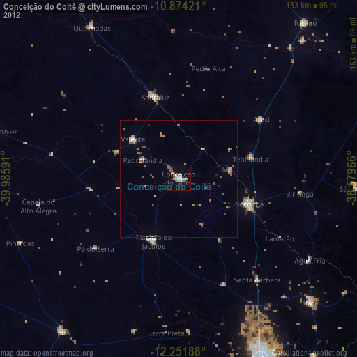
» Earth at Night: Flat Maps 2012, 2016