Prainha night lights from space
Night Light of Prainha (Pará) from space (Brazil) Src. Average luminocity for 10x10km area is 3.0779% and for 50x50km: 0.1442%.
Analysis of Prainha night lights 2016
Square area 10x10 km:
 0%
0%90-99
0%80-89
0.87%70-79
0.87%60-69
0.87%50-59
0.87%40-49
0.87%30-39
0%20-29
0%10-19
0%0-9
95.67%Square area 50x50 km:
0%90-99
0%80-89
0.03%70-79
0.03%60-69
0.03%50-59
0.07%40-49
0.03%30-39
0%20-29
0%10-19
0%0-9
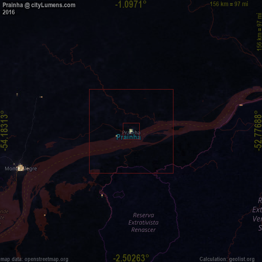
99.79%Clear (daylight) street map image can be seen on geolist.org.
Map coordinates:
1° 5' 49.6" South, 54° 10' 59.3" West
1° 48' 0" South, 53° 28' 48" West
2° 30' 9.5" South, 52° 46' 36.8" West
Some cities around Prainha sort by population:
• Santarém
154.1 km =95.8 mi,  242°
242°
• Altamira
210.6 km =130.9 mi,  137°
137°
• Alenquer
140.7 km =87.4 mi,  263°
263°
• Monte Alegre
70.4 km =43.7 mi,  251°
251°
• Almeirim
104.5 km =64.9 mi,  72°
72°
• Porto de Moz
138.1 km =85.8 mi,  87°
87°
• Gurupá
209.2 km =130 mi,  77°
77°
• Senador José Porfírio
191 km =118.7 mi,  117°
117°
3391287 (p: 6,481)
Sources (retrieved 2019-11-25):
» Earth at Night: Flat Maps 2012, 2016