Alenquer night lights from space
Night Light of Alenquer (Pará) from space (Brazil) Src. Average luminocity for 10x10km area is 13.2554% and for 50x50km: 0.5575%.
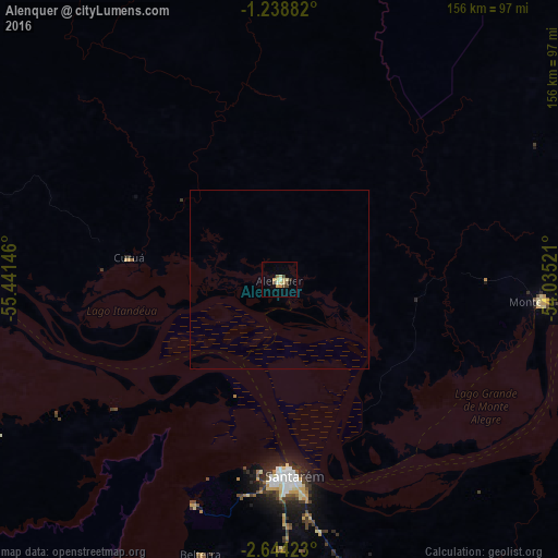
Analysis of Alenquer night lights 2016
Square area 10x10 km:
 0%
0%90-99
1.95%80-89
4.76%70-79
1.95%60-69
1.73%50-59
0%40-49
4.33%30-39
0.87%20-29
0%10-19
0%0-9
84.42%Square area 50x50 km:
0%90-99
0.08%80-89
0.19%70-79
0.08%60-69
0.07%50-59
0%40-49
0.17%30-39
0.03%20-29
0%10-19
0%0-9
99.38%Clear (daylight) street map image can be seen on geolist.org.
Map coordinates:
1° 14' 19.8" South, 55° 26' 29.3" West
1° 56' 30" South, 54° 44' 18" West
2° 38' 39.2" South, 54° 2' 6.8" West
Some cities around Alenquer sort by population:
• Santarém
55.8 km =34.7 mi,  176°
176°
• Oriximiná
126.9 km =78.9 mi,  278°
278°
• Óbidos
86.7 km =53.9 mi,  271°
271°
• Monte Alegre
73.3 km =45.5 mi,  95°
95°
• Terra Santa
195.1 km =121.2 mi,  264°
264°
• Juruti
152.3 km =94.6 mi, 261°
• Nhamundá
221.1 km =137.4 mi, 262°
• Prainha
140.7 km =87.4 mi,  83°
83°
3407980 (p: 26,290)
Sources (retrieved 2019-11-25):
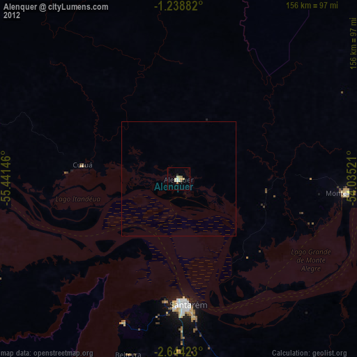
» Earth at Night: Flat Maps 2012, 2016