Altamira night lights from space
Night Light of Altamira (Pará) from space (Brazil) Src. Average luminocity for 10x10km area is 50.5541% and for 50x50km: 3.1556%.
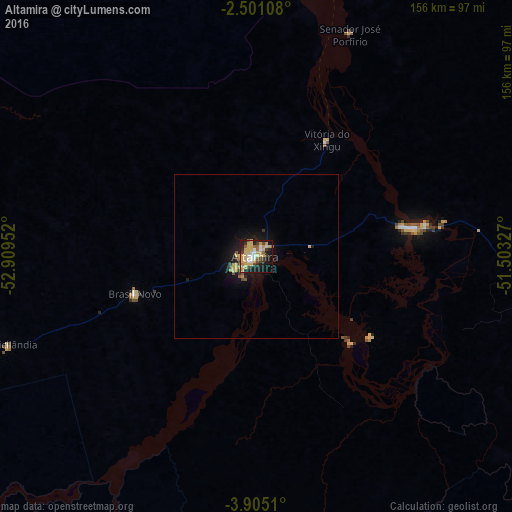
Analysis of Altamira night lights 2016
Square area 10x10 km:
 5.84%
5.84%90-99
5.63%80-89
19.7%70-79
9.96%60-69
3.46%50-59
3.68%40-49
6.49%30-39
6.93%20-29
10.17%10-19
24.03%0-9
4.11%Square area 50x50 km:
0.23%90-99
0.22%80-89
1%70-79
0.55%60-69
0.19%50-59
0.32%40-49
0.42%30-39
0.41%20-29
0.52%10-19
3.11%0-9
93.03%Clear (daylight) street map image can be seen on geolist.org.
Map coordinates:
2° 30' 3.9" South, 52° 54' 34.3" West
3° 12' 12" South, 52° 12' 23" West
3° 54' 18.4" South, 51° 30' 11.8" West
Some cities around Altamira sort by population:
• Breves
255.7 km =158.9 mi,  48°
48°
• Monte Alegre
247.5 km =153.8 mi,  302°
302°
• Portel
208.7 km =129.7 mi, 47°
• Almeirim
191.4 km =118.9 mi,  347°
347°
• Porto de Moz
161.8 km =100.5 mi,  358°
358°
• Prainha
210.6 km =130.9 mi,  317°
317°
• Gurupá
209.6 km =130.2 mi,  17°
17°
• Senador José Porfírio
73.6 km =45.7 mi, 22°
3407882 (p: 70,888)
Sources (retrieved 2019-11-25):
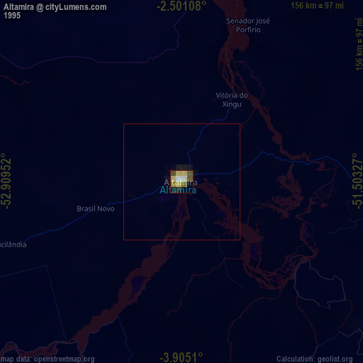
» NASA, Earths city lights 1995
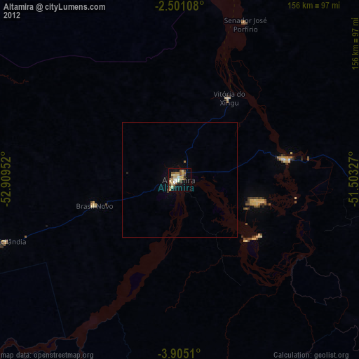
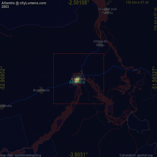
» NASA city lights 2003
» Earth at Night: Flat Maps 2012, 2016