Monte Alegre night lights from space
Night Light of Monte Alegre (Pará) from space (Brazil) Src. Average luminocity for 10x10km area is 13.5% and for 50x50km: 0.6088%.
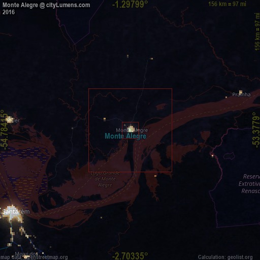
Analysis of Monte Alegre night lights 2016
Square area 10x10 km:
 0%
0%90-99
0%80-89
6.28%70-79
3.25%60-69
0%50-59
1.73%40-49
2.38%30-39
1.3%20-29
2.16%10-19
1.52%0-9
81.39%Square area 50x50 km:
0%90-99
0%80-89
0.25%70-79
0.13%60-69
0.03%50-59
0.07%40-49
0.1%30-39
0.07%20-29
0.09%10-19
0.1%0-9
99.17%Clear (daylight) street map image can be seen on geolist.org.
Map coordinates:
1° 17' 52.8" South, 54° 47' 2.9" West
2° 0' 3" South, 54° 4' 51.7" West
2° 42' 12.1" South, 53° 22' 40.4" West
Some cities around Monte Alegre sort by population:
• Santarém
85.3 km =53 mi,  234°
234°
• Oriximiná
200.1 km =124.3 mi,  277°
277°
• Alenquer
73.3 km =45.5 mi, 275°
• Óbidos
160 km =99.4 mi,  273°
273°
• Almeirim
174.9 km =108.7 mi,  72°
72°
• Juruti
224.1 km =139.2 mi, 265°
• Porto de Moz
206.7 km =128.4 mi,  82°
82°
• Prainha
70.4 km =43.7 mi, 71°
3394605 (p: 22,840)
Sources (retrieved 2019-11-25):
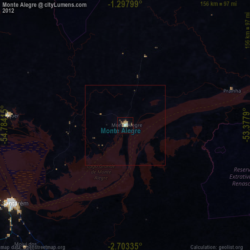
» Earth at Night: Flat Maps 2012, 2016