Gurupá night lights from space
Night Light of Gurupá (Pará) from space (Brazil) Src. Average luminocity for 10x10km area is 3.0693% and for 50x50km: 0.1227%.
Analysis of Gurupá night lights 2016
Square area 10x10 km:
 0%
0%90-99
0%80-89
0%70-79
1.73%60-69
0%50-59
0.65%40-49
1.08%30-39
1.73%20-29
0%10-19
0%0-9
94.81%Square area 50x50 km:
0%90-99
0%80-89
0%70-79
0.07%60-69
0%50-59
0.03%40-49
0.04%30-39
0.07%20-29
0%10-19
0%0-9
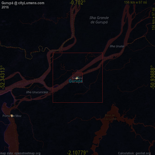
99.79%Clear (daylight) street map image can be seen on geolist.org.
Map coordinates:
0° 42' 7.2" South, 52° 20' 35.3" West
1° 24' 18" South, 51° 38' 24" West
2° 6' 28" South, 50° 56' 12.8" West
Some cities around Gurupá sort by population:
• Macapá
172.7 km =107.3 mi,  21°
21°
• Santana
158.2 km =98.3 mi, 18°
• Breves
132.5 km =82.3 mi,  103°
103°
• Portel
108.5 km =67.4 mi,  122°
122°
• Almeirim
105.5 km =65.6 mi,  262°
262°
• Porto de Moz
76.7 km =47.7 mi,  240°
240°
• Mazagão
148.6 km =92.3 mi, 15°
• Senador José Porfírio
136.4 km =84.8 mi,  194°
194°
3398480 (p: 6,461)
Sources (retrieved 2019-11-25):
» Earth at Night: Flat Maps 2012, 2016