Almeirim night lights from space
Night Light of Almeirim (Pará) from space (Brazil) Src. Average luminocity for 10x10km area is 4.7381% and for 50x50km: 0.1894%.
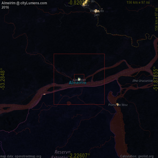
Analysis of Almeirim night lights 2016
Square area 10x10 km:
 0%
0%90-99
0%80-89
3.03%70-79
0.43%60-69
0.65%50-59
0.22%40-49
0.87%30-39
0.87%20-29
0%10-19
0%0-9
93.94%Square area 50x50 km:
0%90-99
0%80-89
0.12%70-79
0.02%60-69
0.03%50-59
0.01%40-49
0.03%30-39
0.03%20-29
0%10-19
0%0-9
99.76%Clear (daylight) street map image can be seen on geolist.org.
Map coordinates:
0° 49' 13.3" South, 53° 17' 5.3" West
1° 31' 24" South, 52° 34' 54" West
2° 13' 33.9" South, 51° 52' 42.8" West
Some cities around Almeirim sort by population:
• Altamira
191.4 km =118.9 mi,  167°
167°
• Monte Alegre
174.9 km =108.7 mi,  252°
252°
• Portel
201 km =124.9 mi,  103°
103°
• Porto de Moz
45.6 km =28.3 mi,  123°
123°
• Mazagão
212.5 km =132 mi,  42°
42°
• Prainha
104.5 km =64.9 mi, 252°
• Gurupá
105.5 km =65.6 mi,  82°
82°
• Senador José Porfírio
137.7 km =85.6 mi,  149°
149°
3407903 (p: 20,464)
Sources (retrieved 2019-11-25):
» Earth at Night: Flat Maps 2012, 2016