Canavieiras night lights from space
Night Light of Canavieiras (Bahia) from space (Brazil) Src. Average luminocity for 10x10km area is 15.0108% and for 50x50km: 0.9364%.
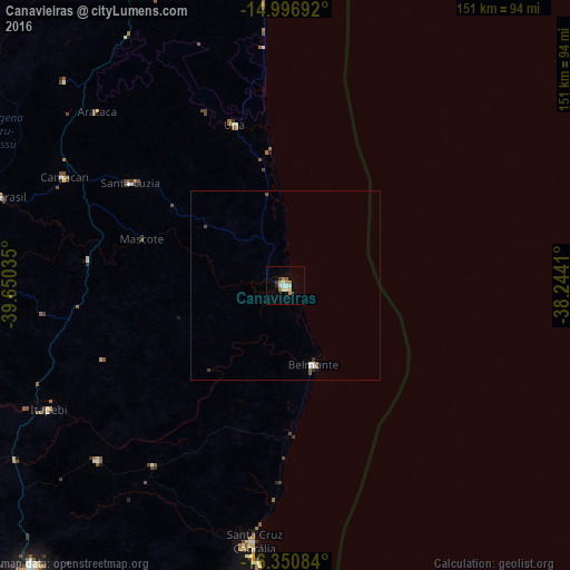
Analysis of Canavieiras night lights 2016
Square area 10x10 km:
 2.38%
2.38%90-99
3.68%80-89
1.08%70-79
2.16%60-69
2.38%50-59
1.3%40-49
0.65%30-39
1.08%20-29
1.08%10-19
1.52%0-9
82.68%Square area 50x50 km:
0.15%90-99
0.22%80-89
0.04%70-79
0.12%60-69
0.09%50-59
0.18%40-49
0.08%30-39
0.09%20-29
0.08%10-19
0.1%0-9
98.86%Clear (daylight) street map image can be seen on geolist.org.
Map coordinates:
14° 59' 48.9" South, 39° 39' 1.3" West
15° 40' 30" South, 38° 56' 50" West
16° 21' 3" South, 38° 14' 38.8" West
Some cities around Canavieiras sort by population:
• Ilhéus
98.5 km =61.2 mi,  354°
354°
• Porto Seguro
87.1 km =54.1 mi,  188°
188°
• Una
44.6 km =27.7 mi,  342°
342°
• Santa Cruz Cabrália
67.6 km =42 mi, 187°
• Mascote
40 km =24.9 mi,  288°
288°
• Buerarema
88.1 km =54.7 mi,  334°
334°
• Belmonte
21.9 km =13.6 mi,  160°
160°
• Pau Brasil
79 km =49.1 mi, 287°
3467577 (p: 26,375)
Sources (retrieved 2019-11-25):
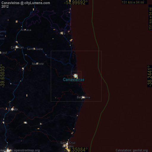
» Earth at Night: Flat Maps 2012, 2016