Esperantina night lights from space
Night Light of Esperantina (Piauí) from space (Brazil) Src. Average luminocity for 10x10km area is 19.684% and for 50x50km: 1.6379%.
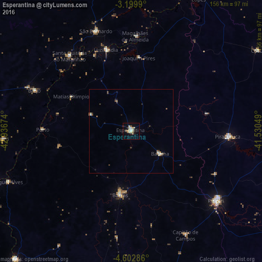
Analysis of Esperantina night lights 2016
Square area 10x10 km:
 1.52%
1.52%90-99
5.63%80-89
3.68%70-79
1.95%60-69
1.95%50-59
1.73%40-49
0%30-39
2.6%20-29
2.6%10-19
7.36%0-9
71%Square area 50x50 km:
0.12%90-99
0.39%80-89
0.22%70-79
0.13%60-69
0.16%50-59
0.27%40-49
0.08%30-39
0.33%20-29
0.31%10-19
0.36%0-9
97.63%Clear (daylight) street map image can be seen on geolist.org.
Map coordinates:
3° 11' 59.6" South, 42° 56' 12.3" West
3° 54' 6" South, 42° 14' 1" West
4° 36' 10.3" South, 41° 31' 49.8" West
Some cities around Esperantina sort by population:
• Barras
38.7 km =24 mi,  190°
190°
• Piracuruca
58.3 km =36.2 mi,  92°
92°
• Santa Quitéria do Maranhão
55.2 km =34.3 mi,  321°
321°
• Luzilândia
51.6 km =32.1 mi,  342°
342°
• Brejo
62.2 km =38.6 mi,  292°
292°
• São Bernardo
63.5 km =39.5 mi, 341°
• Batalha
22.3 km =13.9 mi,  127°
127°
• Porto
52.9 km =32.9 mi,  271°
271°
3400740 (p: 21,044)
Sources (retrieved 2019-11-25):
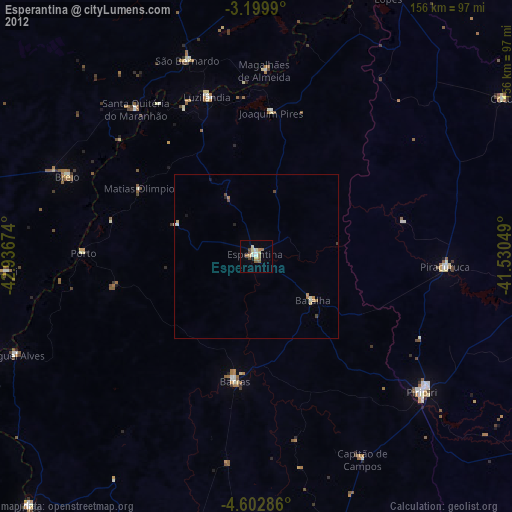
» Earth at Night: Flat Maps 2012, 2016