Goianésia night lights from space
Night Light of Goianésia (Goiás) from space (Brazil) Src. Average luminocity for 10x10km area is 37.8574% and for 50x50km: 2.157%.
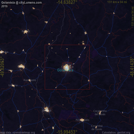
Analysis of Goianésia night lights 2016
Square area 10x10 km:
 4.55%
4.55%90-99
5.99%80-89
2.69%70-79
15.5%60-69
2.69%50-59
4.34%40-49
3.93%30-39
2.48%20-29
3.31%10-19
39.05%0-9
15.5%Square area 50x50 km:
0.18%90-99
0.24%80-89
0.11%70-79
0.82%60-69
0.12%50-59
0.31%40-49
0.31%30-39
0.18%20-29
0.2%10-19
1.97%0-9
95.57%Clear (daylight) street map image can be seen on geolist.org.
Map coordinates:
14° 38' 17.8" South, 49° 49' 14.3" West
15° 19' 3" South, 49° 7' 3" West
15° 59' 40.3" South, 48° 24' 51.8" West
Some cities around Goianésia sort by population:
• Jaraguá
54.1 km =33.6 mi,  205°
205°
• Ceres
51.6 km =32.1 mi,  271°
271°
• Itapaci
61.7 km =38.3 mi,  311°
311°
• Pirenópolis
61.6 km =38.3 mi,  164°
164°
• Uruana
64 km =39.8 mi,  251°
251°
• Rialma
50.1 km =31.1 mi, 270°
• Barro Alto
44.2 km =27.5 mi,  29°
29°
• Carmo do Rio Verde
63.4 km =39.4 mi, 266°
3462378 (p: 47,883)
Sources (retrieved 2019-11-25):
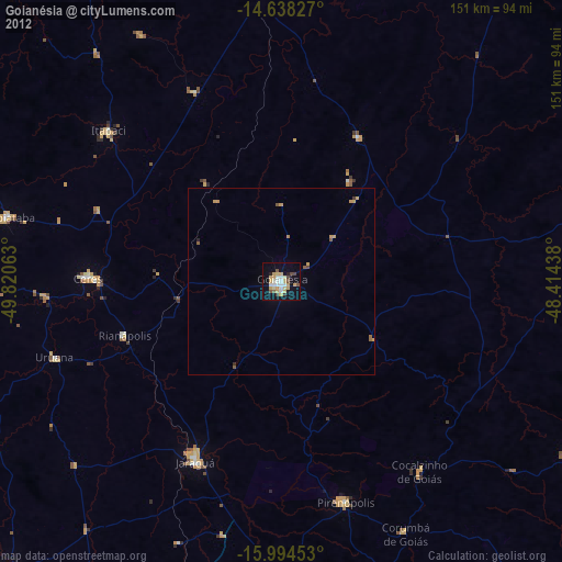
» Earth at Night: Flat Maps 2012, 2016